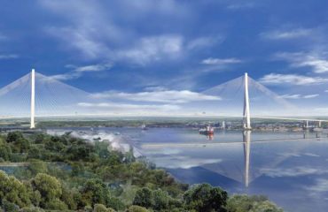
Construction on one of the tallest cable-stayed bridges in the United States was made easier thanks to the cutting-edge use of a GNSS-based vertical alignment system.
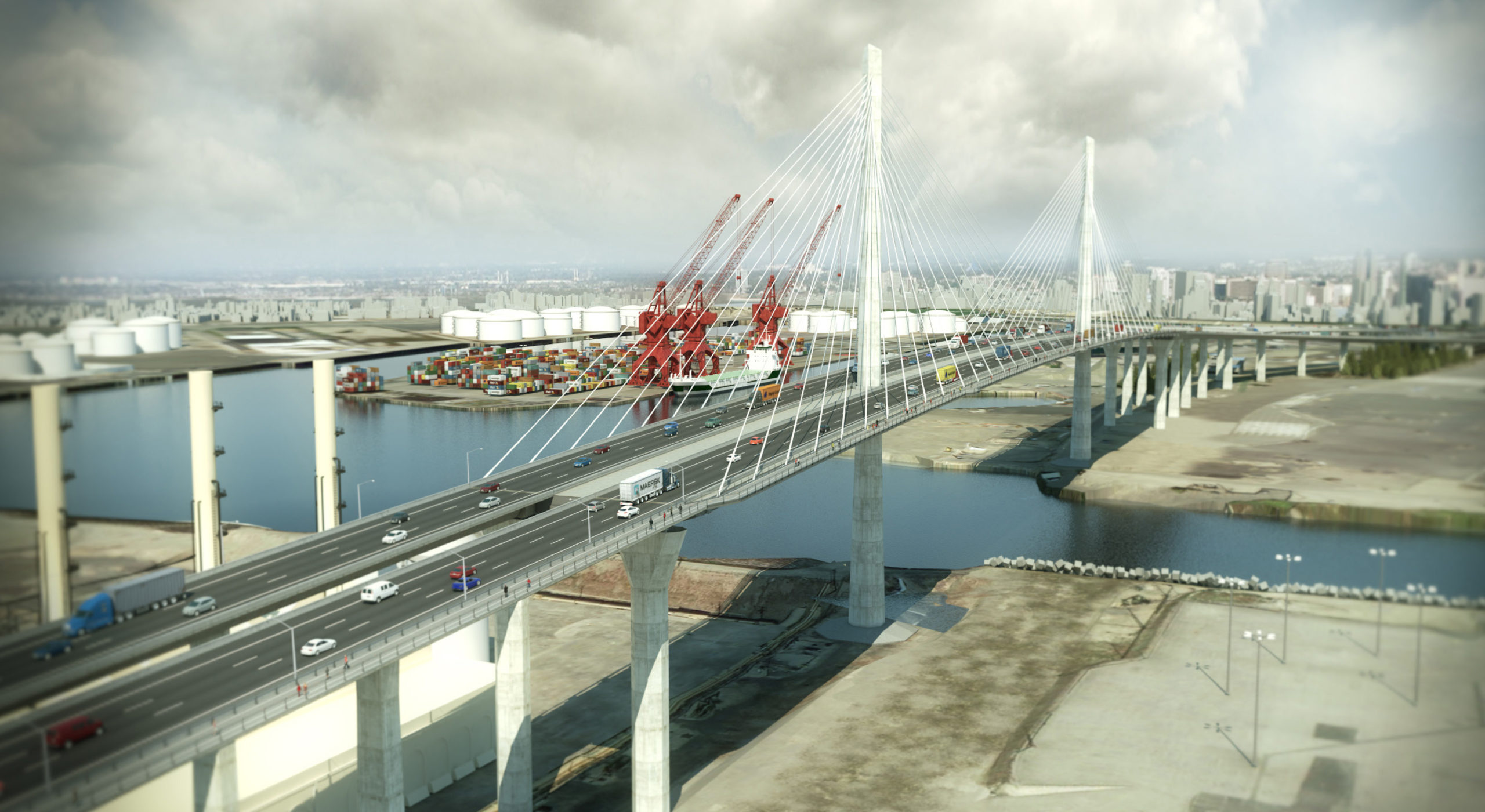
Since 1968, the Gerald Desmond Bridge has been an important part of regional and national infrastructure. The bridge connects Long Beach with the major Port of Long Beach and Port of Los Angeles shipping facilities built up on Terminal Island—15% of the nation’s waterborne imports are trucked across the Gerald Desmond Bridge. But by the early 2000s, the original bridge’s 155-foot clearance—considered generous in 1968—was too limiting for some of the largest container ships in use. In 2012, for example, the MSC Fabiola could not pass under the Gerald Desmond Bridge and was forced to dock at another terminal. Even more problematic was the Gerald Desmond’s condition; pieces of the deck were literally falling off, and a “diaper” of wire netting has been strung to protect those passing under.
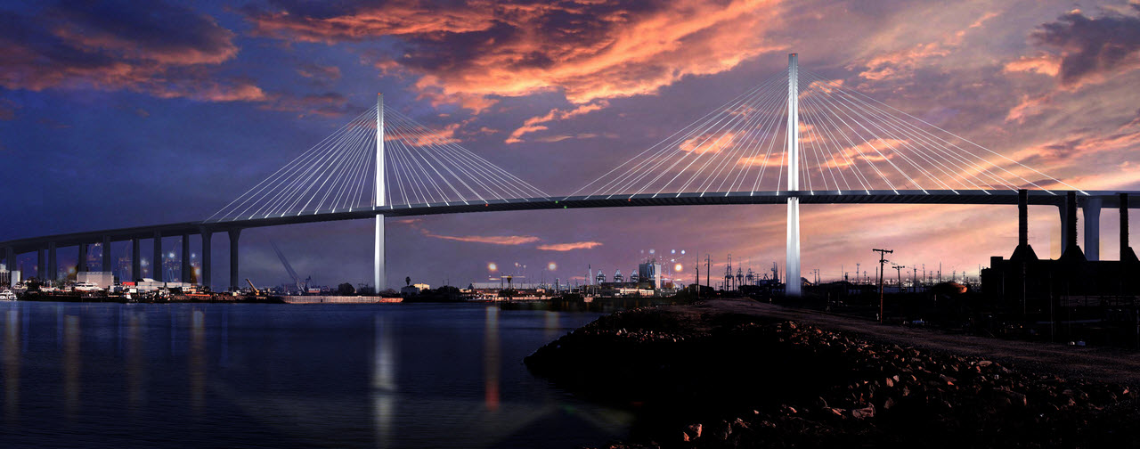
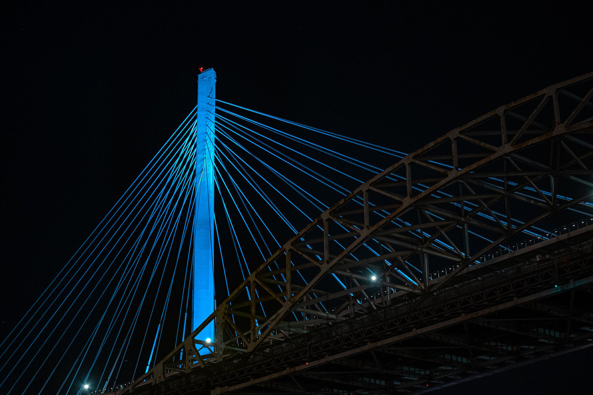
So the Gerald Desmond Bridge was replaced with California’s first long span, cable-stayed bridge, with an additional 50 feet of clearance, making it one of the tallest cable-stayed bridges in the United States. The cables are anchored on two, 515-foot tall support towers. The new bridge, which officially opened in October 2020, is also wider, providing room for additional traffic lanes, emergency access lanes, and a bicycle/pedestrian path.
 “On previous projects, we had shown that our system can maintain tight tolerances, well within the couple of inches specified on the Gerald Desmond Bridge.”
– David Rutledge
Bridge construction began in 2012 but was complicated by the presence of the Wilmington Oil Field, one of California’s largest oil fields, which lies directly beneath the bridge site. Subsidence has been an issue in and around the Wilmington Oil Field since the 1930s, and the region has been a hotbed of progressive monitoring techniques for about 70 years.
Clearing out old wells and rerouting major utilities was lengthy, challenging, tedious, and mostly invisible to commuters. But with that work done, Shimmick/FCC/Impregilo (SFI)—the joint venture team that won the project’s design/build contract—turned its attention to construction that is more iconic and spectacular; building the bridge support towers and keeping them vertically aligned. Given the “sinking feeling” that the oil field is known for, maintaining vertical alignment during construction was a serious concern. In a cable-stayed design like this one, achieving and maintaining excellent vertical alignment of the bridge support towers is one of the most critical construction tasks.
For the Gerald Desmond Bridge Replacement project, a vertical alignment system developed by Leica Geosystems and proven on supertall building projects like the Burj Khalifa and New York’s 432 Park Avenue residential building (one of North America’s tallest towers) was selected as the tool that project surveyors used for this important job.
Monitoring in Long Beach
Subsidence of the Wilmington Oil Field has been startling at times; in the 1940s and 1950s, subsidence of as much as 29 feet was recorded in some areas. The problem has been mitigated since the 1950s with water injection into oil reservoirs; this grew into one of the world’s largest water flooding programs, and 600 injection wells currently pump about one million barrels per day into the field.
Subsidence in Long Beach, and the effect of waterflooding (the use of water injection to increase the production from oil reservoirs), have been the subject of intense monitoring for decades, occasionally by exotic means: “Precision casing collar surveys” measured change in well casing collars, compaction recorders were used to measure subsidence in shallow aquifers, and tidal gauge recorders were used to compare tide heights to shoreline features. There was even a program that shot radioactive bullets into production wells, and later attempted to track the bullet location with a gamma ray survey.
But for many decades, the mainstay of the monitoring program was a large and sophisticated spirit level network that ultimately included 350 benchmarks in the City of Long Beach and 540 benchmarks in the port. It was a good method—very precise—but it was also time consuming with no real-time component. So, since 2001, the city has relied on twice annual GPS surveys, and a network of twelve continuously operating receivers placed strategically around the city and port.
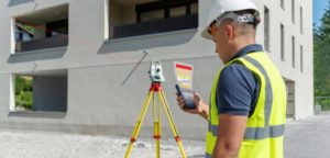
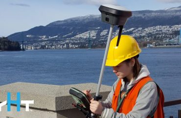
It’s fitting, then, that the new bridge support towers also relied on an innovative use of GNSS receivers to maintain plumb during construction. The Leica Geosystems Vertical Alignment System used in this project was built around a Leica TS15i total station and up to six Leica GM10 GNSS receivers, several rovers and radios, and specialized software. GNSS and optical data were monitored and processed continuously in real-time by a custom implementation of Leica’s GNSS Spider Software. The HxGN SmartNet RTK network, along with ground-based control, was used as a reference. The system was able to compare real-time tower position with design position and could be used to compensate for several factors, including crane weight, wind load, and even the thermal expansion caused by unequal solar loads. Contractors and project surveyors used this high quality information to guide concrete formwork and positioning of new steel members.
Taking GNSS to New Heights
This is an innovative system, developed by Leica Geosystems for use on supertall buildings such as New York City’s 1 World Trade Center. Previously, the alignment of tall structures depended on the painstaking extension of ground control networks. “In the past, when you wanted to work on a tower or a bridge support, you’d establish a ground reference, and then have a prism up on the actual formwork,” explains Leica Geosystems’ Director of Structural Monitoring David Rutledge. “As the structure began to climb in height, maintaining line of sight to the prism would become increasingly difficult. The Leica solution is to gracefully switch over to the GNSS system for primary alignment control. This is a proven methodology that has been used on the world’s largest buildings.”
After construction is complete, the receivers can be left in place to provide ongoing monitoring. (Incidentally, Rutledge was also instrumental in setting up the GPS subsidence monitoring system in Long Beach.)
“On previous projects, we’ve shown that our system can maintain tight tolerances,” Rutledge says, “…well within the couple of inches specified on the Gerald Desmond Bridge.”
To talk to one of our experts and learn more about solutions for surveying and monitoring, please contact us.
