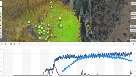
GeoMonitoring Hub sample data

Explore the platform that minimizes risk by maximizing real-time access to monitoring intelligence.

Construction on one of the tallest cable-stayed bridges in U.S. was made easier thanks to the cutting-edge use of a GNSS-based vertical alignment system.

Learn how to leverage the latest monitoring technology innovations to provide intelligence, protect assets and save lives.

Using GNSS receivers as active control provided accuracy and accelerated the construction schedule for one of Boston’s tallest residential buildings.

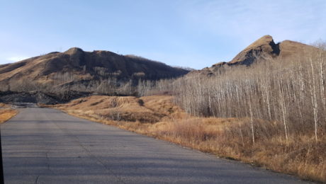
An innovative GNSS-based monitoring system provides assurance that a landslide has stabilized and sets a new standard for risk assessment and mediation.

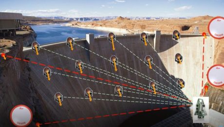
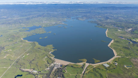
East Bay Municipal Utility District’s implementation of intelligent GNSS-based monitoring raises the bar on dam safety.

Continuously updating GNSS and inclinometer data along with optical readings help supertalls and superslims stand tall and perfectly straight.

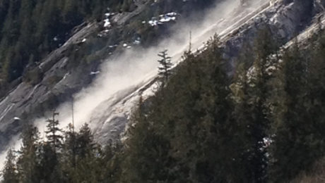
A high-sensitivity slope monitoring system provides early warning of additional rock instability and failure during road repair work following a rockslide.

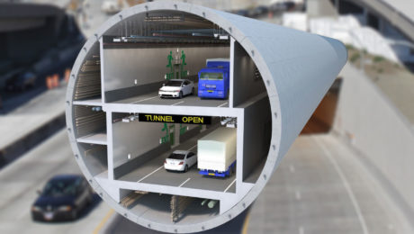
The ability to track and respond to movement in real time gives project teams confidence in handling large-diameter tunnel boring projects.