Now Available On Demand
You'll Learn
- When and why to use HxGN GeoMonitoring Hub software
- How to integrate all project instrumentation—including GNSS and optical sensors, load sensors, extensometers, rain gauges and more—without writing custom software
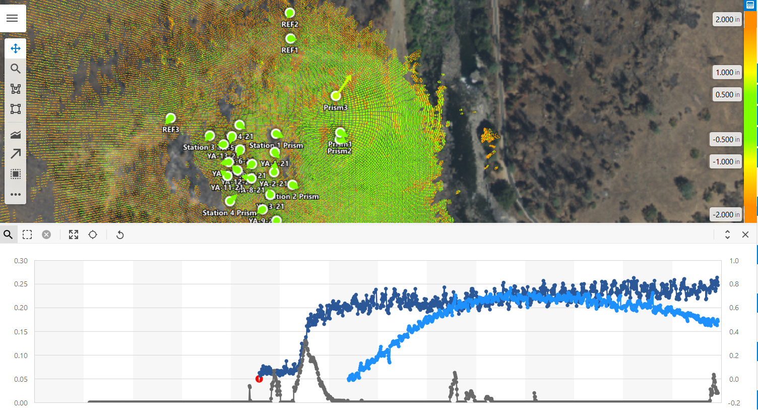
- How to configure the user interface (UI) to deliver instant insight on any aspect of your project
- How to leverage automation and visualization to quickly generate high-value, fully customizable reports
- How to optimize real-time monitoring and control through integrations with Leica GeoMoS Monitor software and Campbell Scientific LoggerNet software
Intelligent software and sensors are all part of a successful deformation monitoring approach. But understanding what’s happening on that project in real time requires one more piece—a way to easily and seamlessly integrate every component to tell the whole story.
In this 90-minute webinar, monitoring expert David Rutledge will walk you through the solution that is transforming deformation monitoring: GeoMonitoring Hub. You’ll see how to combine, analyze, explore and cross-check all measurement results from any combination of sensors into a single, highly visual drag-and-drop platform that delivers comprehensive understanding in real time.
Explore the powerful new software that minimizes risk by maximizing access to monitoring intelligence.

David Rutledge has spent most of his career solving structural monitoring challenges. Trained as a structural geologist, Rutledge began his career with the U.S. Geological Survey Seismology Dept. (now the Earthquake Hazards Program). As an early adopter of GPS technology, he saw a need for real-time data and was a key member of the team that developed the first real-time GPS processing software in the late 1990s—an achievement that ignited his passion for real-time monitoring. As director of structural monitoring for Leica Geosystems, part of Hexagon, Rutledge guides professionals in assessing real-time monitoring project requirements, devising and implementing the best solution, analyzing the data, and achieving outstanding results.
To talk to one of our experts and learn more about how to optimize your surveying potential with technology, please contact us.


