Now Available On Demand
You'll Learn
- What types of projects are best suited for total station monitoring
- Where laser scanners fit into the monitoring mix
- Advantages and disadvantages of prisms and reflectorless measurements
- How to evaluate and choose the right technology
- What steps are involved in setting up a monitoring network
- How to incorporate imaging, meteo sensors, measurement cycles and exporting of results
- How to reduce risk and maximize insight with real-time results and clear visualizations
Moving from campaign monitoring to semi-automated monitoring with the use of a field app is an easy first step to launch and grow your monitoring capabilities. Once you’re ready to expand into setting up permanent installations, there’s more to learn.
Total stations are the most common instrument used for installed monitoring systems, but recent technology advances also make it possible to use laser scanning. How do you know which technology to use in a given application, and what’s the best way to analyze and deliver the data to your clients? What other considerations do you need to evaluate to provide a quality monitoring system?
In this engaging 60-minute webinar, monitoring specialist William T. Derry, Prof. LS, will show you how to expand your monitoring capabilities.
Advance your monitoring skills by exploring the next level of automation. Can’t attend live? Sign up anyway, and we’ll send you a link to the recording.
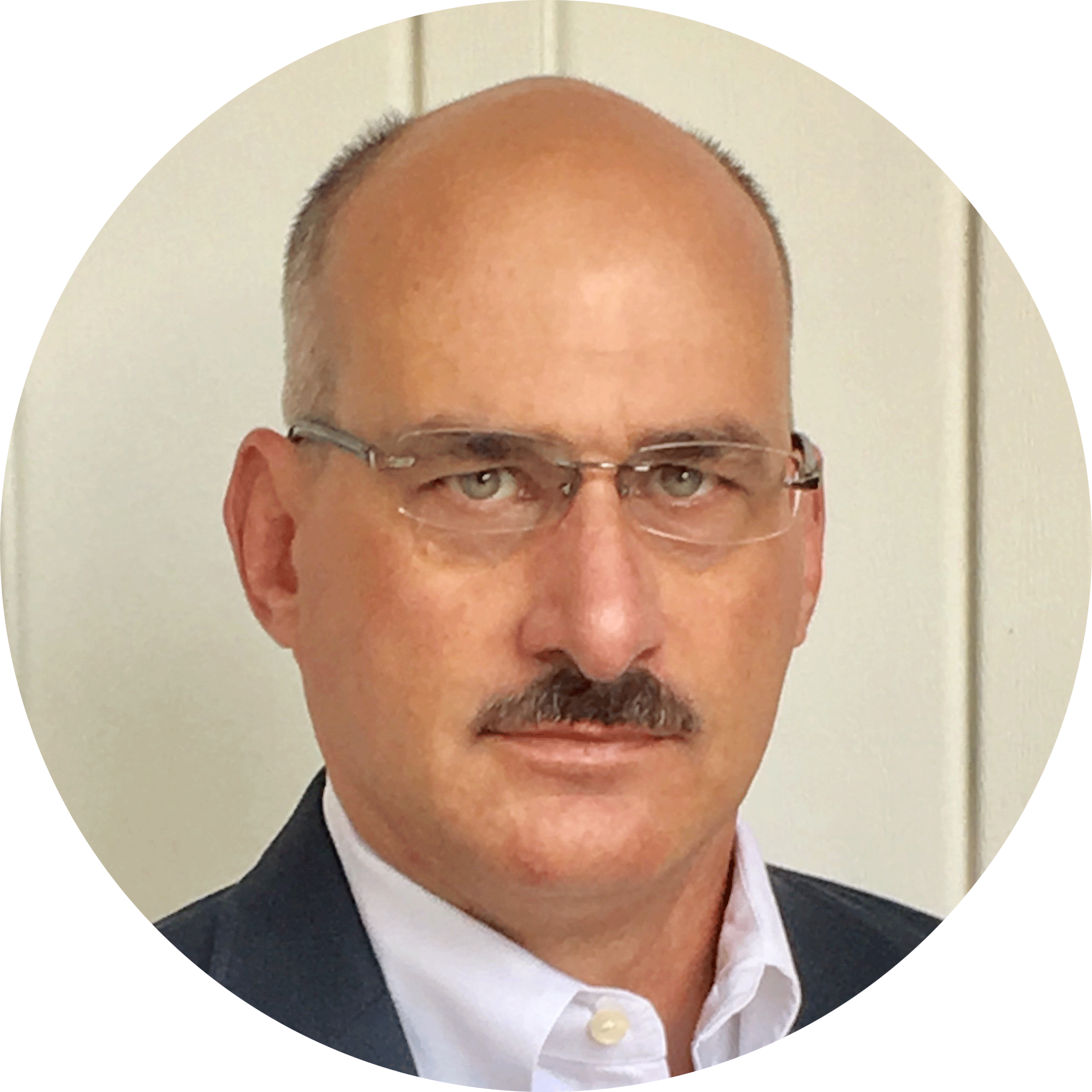
 William T. Derry, Prof. LS, has more than 23 years of experience as a professional licensed land surveyor working with GNSS control, structural layout and general surveying. Trained in the military as a geodetic and artillery land surveyor, Derry has held such diverse roles as project manager, division manager and technology director. Derry currently serves as technical sales engineer for structural monitoring solutions at Leica Geosystems, part of Hexagon.
To talk to one of our experts and learn more about how to optimize your surveying potential with technology, please contact us.


