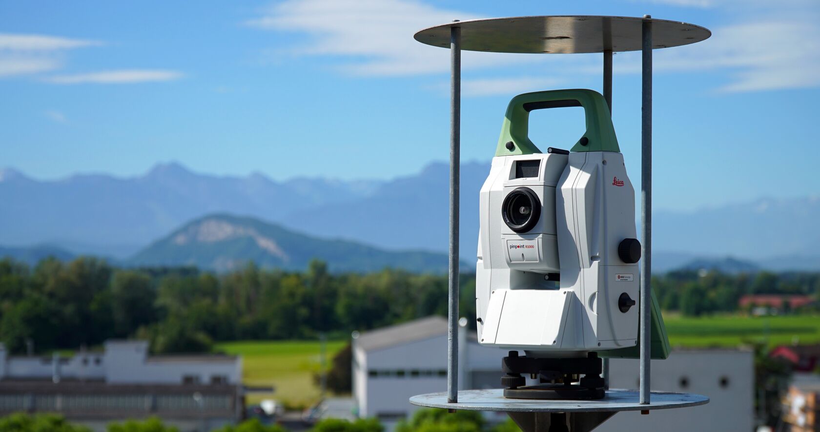
Total stations can be a good choice for asset positional monitoring—if you apply them intelligently.
One reason surveyors are a natural choice to lead the way and dominate the market in asset monitoring is that the main field tool of land surveying, the total station, is also one of the best and most flexible monitoring sensors. Set up properly, total stations can monitor extremely sensitive situations, such as buildings and other structure directly over the paths of tunnel boring machines (TBMs) and can also be used at great distances to monitor assets like pile quantities at mines.
I once assisted in the setup of a monitoring system that collected and analyzed real-time data from permanently installed ground-based interferometric synthetic aperture radar (InSAR) and two automated Leica TM30 total stations. (This was before the TM60 was available). The system monitored slope movements and enabled reconstruction of critical hydroelectric infrastructure in an area that had recently been devastated by a 100,000 cubic meter rockslide.
But while total stations are flexible and powerful monitoring sensors, they can’t be used indiscriminately. A key factor to keep in mind when considering the use of total stations in asset monitoring is accuracy. There’s a big difference between monitoring in an urban area and monitoring slag piles in an open pit mine.
 “While total stations are flexible and powerful monitoring sensors, they can’t be used indiscriminately. A key factor to keep in mind when considering the use of total stations in asset monitoring is accuracy.”
– Craig Hewes, PLS
How Accurate Do You Need To Be?
When highly accurate monitoring is required, you have to think carefully about 3D accuracy, that is, the precision and accuracy of a measurement when angular and distance errors are estimated. They’re not the same.
Angular error is relatively straightforward; just figure out the angular error per manufacturer’s specs, the distances you’ll be monitoring from, and do your trigonometry. The nice thing about angular error is that it’s predictable and easy to calculate. The difficult thing about angular error is that it always gets worse with distance.
Distance error, on the other hand, is not so easily calculated and doesn’t degrade as predictably with distance—that is, distance measurement does degrade as measured distances increase, but the line on the graph is not as straight as it is with angular measurement, and it’s not easy to calculate. You’ll have to review manufacturer specs and work with your instrument for a while to get a sense for it, perhaps retraversing public monuments with highly accurate published values.
Confoundingly, distance measurements also vary quite a bit from day to day due to atmospheric conditions. You should apply atmospheric corrections of course, and good monitoring software will do that automatically, but it’s not yet an exact science… just a pretty good science. Glassed-in total station enclosures can also affect distance measurements.
Establishing a Baseline
For both types of measurement, angular and distance, establishing a baseline is an important part of good monitoring technique. By this I mean, set up your instruments and monitoring system and let them run for a period of time before making final decisions. This should be at least three days, and one to two weeks is better. If you do this, you’ll learn a lot.
In my experience, for example, daytime measurements always suffer more from “noise” than nighttime measurements and, depending on the site, there can be significant measurement differences depending on the day of the week. When you have that data, you can establish means and apply corrections, with the goal of reducing noise. But once the system is tuned and set, you won’t have to check it daily—weekly is often enough.
A Rule of Thumb for Distance
Granting all the above, we’re still left with a simple rule of thumb: If high accuracy is needed with a total station, it will have to be relatively close to the asset. Realistically, you’re not going to do millimeter-level monitoring from 1,000 meters out. But in cases where “hand grenade” accuracy is all that is needed, very long distance monitoring is conceivable… maybe even without angular measurement. A German open pit coal mine, for example, is using distance-only total station monitoring at distances of up to 4,000 meters.
Recent advances in self-centering (automatic prism acquirement) have helped with this. The limit used to be about 1,000 meters, but newer total stations (the Leica Nova TM60, for example) can now self-center at 3,000 meters, which has opened up many new applications.
So if you’re considering asset positional monitoring, there’s a very good chance that total stations can be used effectively, if they’re applied intelligently. If you have any questions about using total stations in monitoring situations, please contact me.
About the Author:
 Craig S. Hewes, PLS, is a licensed land surveyor who is experienced in supertall building construction and asset monitoring. For nearly 15 years, Craig served as Leica Geosystems' director of monitoring for the Eastern US and Canada. In his current role as Leica Geosystems' senior strategic account manager, Craig helps surveying and engineering organizations achieve new levels of success through a strategic partnership approach to technology adoption.
To talk to one of our experts and learn more about solutions for surveying and monitoring, please contact us.


