Take a journey with Simon Pedley to experience the groundbreaking potential of GPR with automated data analysis and 3D utility mapping.
Ready to learn more?
Explore the full virtual utility detection demo >
–RELATED RESOURCES–
How the Latest in Underground Asset Detection Creates New Surveying Opportunities
 Advances in ground penetrating radar make it easy to view and interpret data in the field. Learn more >
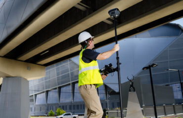
How the Latest GNSS Innovation Keeps Utility Surveyors Safer
 The ability to capture accurate points from a distance with images provides a significant leap in safety and efficiency for subsurface utility engineering. Read more >
Surveyor Uses Advanced Technology to Gain a Competitive Advantage
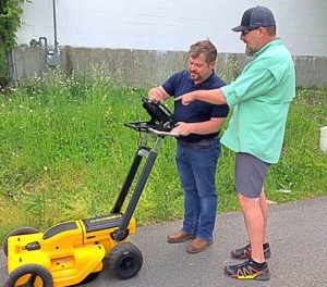 State-of-the-art technology enables Stivers Land Surveying to compete with larger firms and produce exceptional deliverables. Read more >