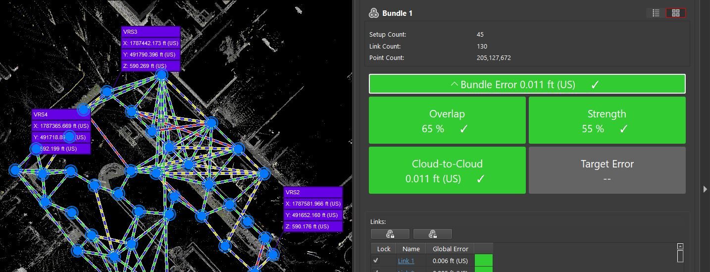
Adam Westfall, PS, shows you why scan spacing and overlap are critical elements when doing cloud-to-cloud registration.
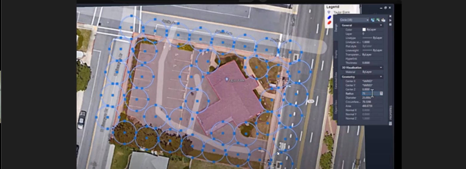
When Adam Westfall, PS, was a surveyor doing scanning for hire or for an internal project, he would start by drawing 12.5-ft radius circles on the project site plans and placing them where he thought he would need them to cover the site with low-resolution scans. He would then count the circles to determine how to price out the project.
Today, as a laser scanning consultant working for Leica Geosystems, Adam recommends the same approach to anyone using a Leica RTC360 laser scanner with Cyclone REGISTER 360 PLUS point cloud registration software. In this webinar excerpt, Adam shows how the resulting 25-ft spacing from scan to scan provides enough overlap to allow you to quickly generate the correct links and registrations, thanks to the automation in REGISTER 360 PLUS.

Watch the full webinar for more reality capture quick tips:
How to Master Point Cloud Registration Accuracy >
Selecting the right option in your field software can also provide time savings in cloud-to-cloud registration. For example, Cyclone FIELD 360 is a mobile app that allows you to pre-align scan data in seconds while you’re scanning. Beginning with version 4.0 and higher, the software gives you an option for the level of detail in the linking mode. This level of detail drives how many points are used to do the link creation calculation. Here, too, low or medium will typically be the best selection. Watch the video above to learn more.
RELATED: See why Adam recommends low resolution for scanning:
To talk to one of our experts and explore which reality capture solutions would work best for your needs, please contact us.


