G4 Geomatic Resources’ Jeff Ryall shows how to enhance surveying accuracy and efficiency with Leica Captivate’s Measure Foresight routine and Leica Infinity.
When you’re collecting and processing survey data, the accuracy of the control data is paramount. If the control data is off, the accuracy and reliability of your measurements will be compromised, potentially jeopardizing the timeline and success of the entire project.
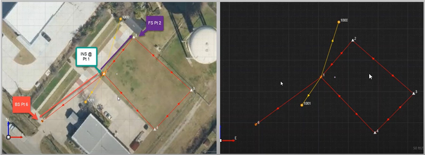
In these videos, G4 Geomatic Resources’ Jeff Ryall demonstrates how Leica Captivate’s Measure Foresight routine allows you to manage control data real-time in the field to identify errors and correct them immediately. The routine is incorporated into the standard Measure Stake application for TS13, TS16, and MS60 total stations.
Jeff also demonstrates how the Leica Infinity office software complements your fieldwork with easy data import and robust capabilities for data analysis, editing, and correction. Surveyors can easily measure foresight data and adjust traverse through examining critical parameters such as prism offsets, PPM, and target heights before generating a comprehensive results report.
In the field and office, the Measure Foresight routine and Infinity Office Software work together to streamline data collection, management, and QA/QC, helping to ensure your project’s success.
To talk to one of our experts and learn more about ways to optimize your surveying potential, please contact us.


