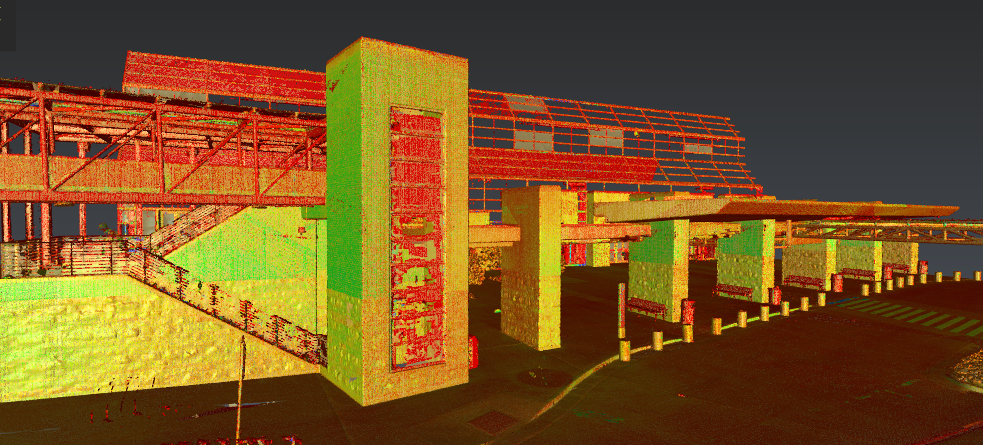
Join Jason Dixon to explore tools in Cyclone 3DR software that can simplify and automate your ground surface modeling workflow.
Available On Demand
The latest sensors make it easy to achieve ultra-high-speed and ultra-high-density reality capture. But all that efficiency gained in the field can be lost in the office if you have to spend countless hours refining 3D meshes, smoothing surfaces, and sharpening edges while modeling ground surfaces.
Fortunately, you don’t.
In this on-demand session, Jason Dixon unpacks the time-saving power of Leica Cyclone 3DR software for ground surface modeling. He shows you how to use automated and intuitive tools that handle complex shapes, eliminate unnecessary noise, prevent artificial distortions, and reduce computational load.
You'll Learn:
- How to save time refining 3D meshes
- How to effortlessly achieve smooth surfaces
- How to sharpen edges with precision using breaklines
Whether you’re seasoned in 3D modeling or new to the world of point cloud data, this webinar will fast-track your journey to efficient ground surface modeling.

Jason Dixon, PLS, has more than 25 years of surveying experience and more than 15 years working with terrestrial, aerial, and mobile lidar data. From his time as an instrument operator and field technician to roles as party chief, survey project manager, and lidar project manager, Jason has always been a passionate advocate for implementing the most efficient and effective technologies and workflows. Today, as reality capture consultant for Leica Geosystems, part of Hexagon, Jason guides surveying and mapping professionals on their journey to maximize productivity and success through innovation. Follow Jason on LinkedIn.
To talk to one of our experts and learn more about how to optimize your surveying potential with technology, please contact us.


