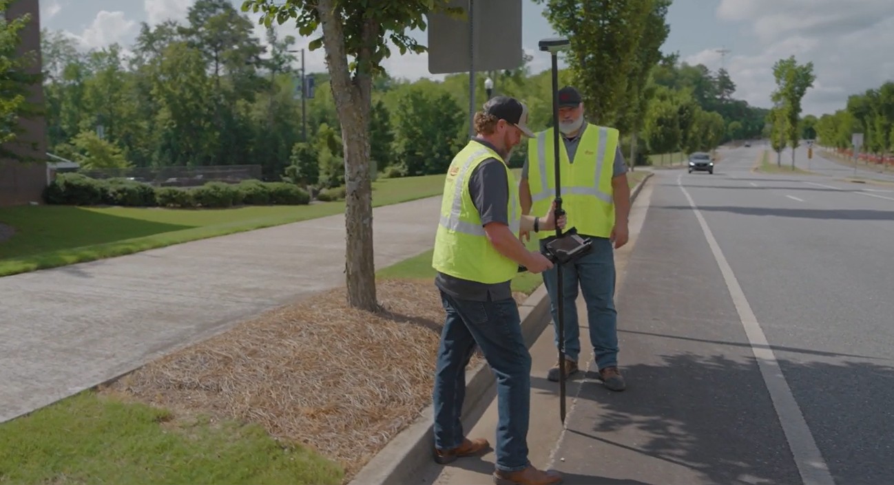
See how to streamline your road design surveys from CAD to construction with Leica field and office software.
Managing diverse data sources and formats while preparing for fieldwork can be a daunting challenge for surveyors and design professionals. In this video, we dive into practical workflows and advanced tools that streamline the process, from importing and validating data to exporting it for field crews.
Whether you’re working with DXF, DWG, XML, or other file types, this video shows you how leveraging tools like GeoCloud Drive, Leica Captivate, and Leica Infinity can simplify your workflow and improve accuracy in the field. Watch as Burke Asay and Russell Snell of Leica Geosystems demonstrate real-world examples of handling road design data, creating cut sheets, and generating comparison maps—all while ensuring quality control.
Key Highlights:
- Simplifying Complex Data Imports: Learn how to manage varied file formats like DXF, DGN, and DWG within Infinity.
- Streamlined Field Preparation: See how GeoCloud Drive enables seamless data transfer to field crews for construction staking and real-time verification.
- Visualization Tools: Explore how Captivate’s 3D viewer enhances field data validation and visualization.
- Creating Reports: Discover efficient methods for generating cut sheets and comparison maps to document fieldwork results.
- Quality Control: Learn why QC is crucial and how to verify design data before using it in the field.
Watch now to simplify your data management process and boost field efficiency.


