It’s the situation every surveyor hopes to avoid—returning to the office after a long day of collecting field data, only to discover you’re missing points that are needed for the deliverable. In a new video, Stephen Bridges of Construction Laser Inc. demonstrates how easy it is to avoid this problem by using the new Leica GS18 I imaging GNSS tilt receiver with Infinity software.
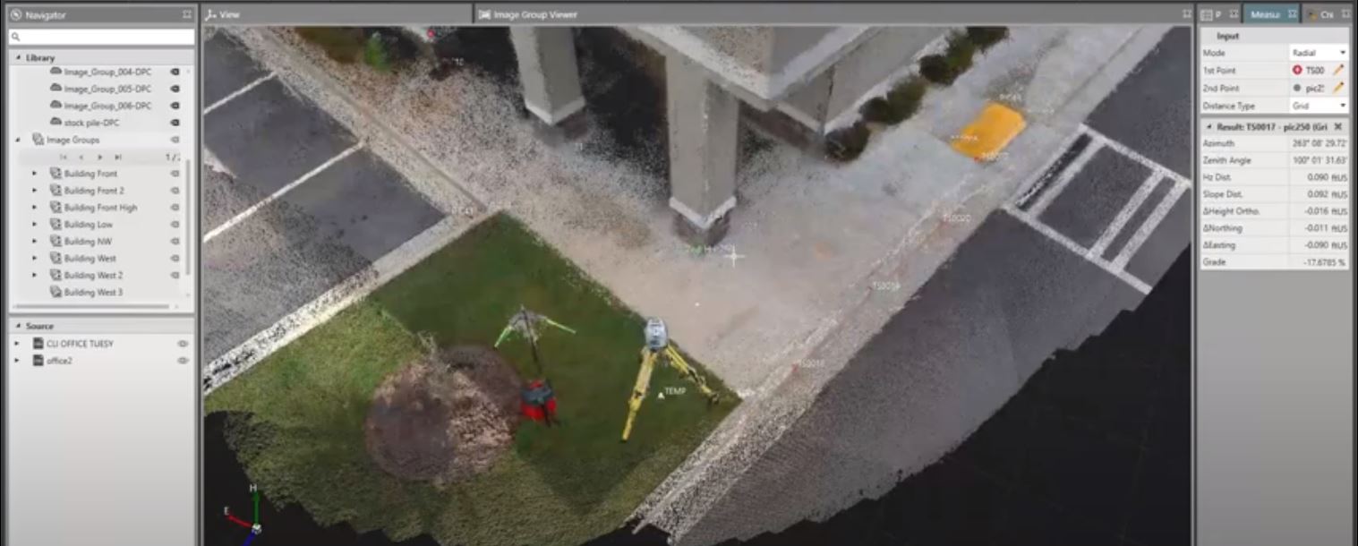
With a simple click on “file import,” Stephen brings in the GNSS measurements and reference station information from a test project, as well as total station measurements for truth data. Selecting the image groups and choosing “dense point cloud” instantly puts all the data in the right place without the need for cloud to cloud registration or matching targets (a requirement when using LiDAR data from a laser scanner). Stephen selects the “building front” image group to focus on imagery that was collected in a 30-second walk along a wall. Scrolling through the images, he selects a corner that he had also captured with the total station and zooms in. He uses a few other images to tighten up the measurement and checks the accuracy. He then returns to the map view to compare the points and check the deviation by doing a quick inverse within the software.
“There’s a ton of value here,” he says. “You can go in and create surfaces or do volume calculations, and export any file type you would need for any other software. It’s a really powerful tool.”
Watch the video above to see it in action.
To talk to one of our experts and learn more about the GS18 I or other solutions that maximize surveying efficiency, productivity and safety, please contact us .
Learn More About the New GS18 I GNSS RTK Rover in These Virtual Events


