With any surveying sensor innovation, skepticism is reasonable and even necessary to safeguard the trust bestowed upon the profession. The only way to distinguish the hype from the reality is to push new technology to the limits in the real world.
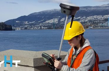
That’s exactly what Gavin Schrock, a Seattle-based land surveyor and consulting editor for Geospatial World, recently did with the new Leica GS18 I, the first GNSS RTK rover that integrates both intelligent tilt technology and visual positioning.
“This tight integration of multi-constellation GNSS, no-calibration tilt, and image-based positioning is significant in that the workflow is very well refined.”
– Schrock“Instruments like the GS18 I represent a confluence of multiple innovations in sensors and solutions,” he writes in his review. “It can take a leap of faith to accept results, often running counter to decades of experience with earlier iterations of related technologies and rules-of-thumb developed for their use. Understanding more about how this multi-sensor system arrives at the end results, should help with skepticism, and can help develop good field practices to get the most out of it.”
For his review, Schrock used a test course he had set up on the roof of his office building where he had already established tight control points from hours of previous GNSS observations. To ensure a reliable comparison, he first used a total station to measure the points on a small structure on the roof before capturing the same points with imaging on the GS18 I. The results, he says, were notable. “In my tests it consistently yielded offset positions (absolute) under 30mm (0.1’). Relative precisions, of course, were better still. … The precision displayed in the image point feature is not necessarily the same as your final yielded absolute precision but was surprisingly close when compared later to the total stations shots.”
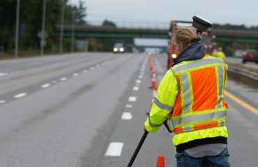
“Some incidental good news: it all works well in the rain. It was pouring down almost the entire time I had the unit to test (yes, fall in Seattle), but it didn’t seem to affect anything.”
– SchrockSchrock also tested the GNSS capabilities of the GS18 I in what he calls a “multipath hell” location under a transmission tower, where he says it provided great performance.
Read the full review in Geospatial World here.
Related: Interactive PDF Answers FAQs About the GS18 I GNSS RTK
To talk to one of our experts and learn more about how to optimize your surveying potential with technology, please contact us .


