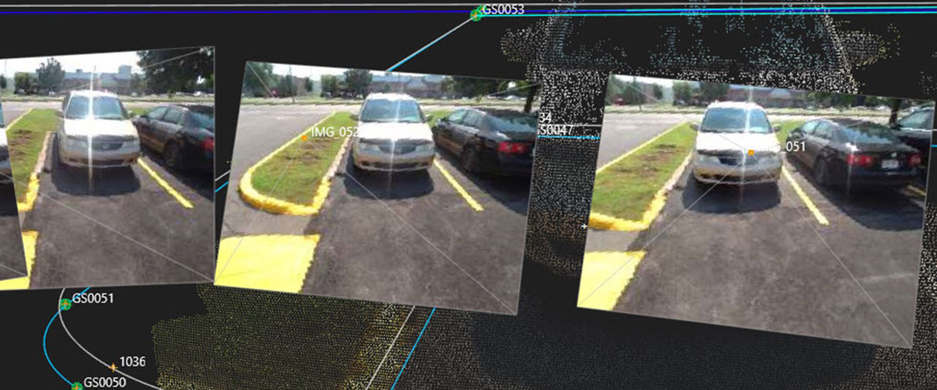
Missing data in your linework doesn’t have to mean going back out to the field. With the GS18I GNSS RTK rover and Infinity software, you can quickly verify your data and get measurements in the office.
You’ve finished your survey field work and you’re working on CAD drawings in the office when you notice something in your linework: A curb appears to be missing data. In a typical survey, you would need to stop work on the project and go back out to the site to verify conditions, potentially losing hours if not days in your schedule. But if you’re using the GS18 I GNSS RTK rover with visual positioning, you can simply open the image group in the office in Infinity software and verify the data on screen, with no return trips required. Watch the video to see how simple this process can be.
Note: This video is an excerpt from a webinar. Watch the full webinar here: Office Workflows to Take Your GNSS Surveys to the Next Level


