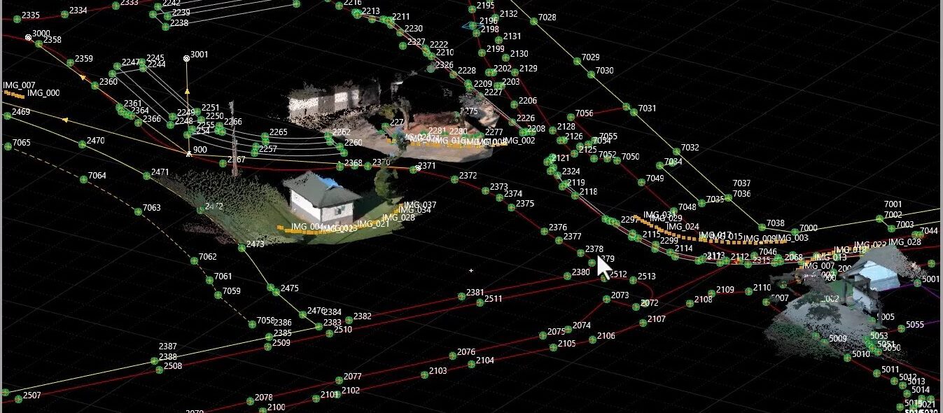
See how the Leica workflow makes your topographic surveys faster and more efficient, whether you’re a beginner or a seasoned pro.
Struggling with complex workflows or wasted time in the field? Discover how the Leica workflow with Captivate field software and Infinity office software simplifies surveying with intuitive options, automated line work, and seamless CAD integration—designed to make your job faster and more efficient, whether you’re a beginner or a seasoned pro.
The workflow begins with code lists and the ability to easily import or create them. From there, you can quickly measure points, line work, and complex geometries like circles. You can even reverse lines for flexibility. Export survey data in CAD-readable formats (e.g., FBK, DXF) using GeoCloud Drive for seamless office integration. Finally, validate and process your data, correct any errors, and prepare it for CAD platforms like Civil 3D.
Watch as Burke Asay uses the GS18 I GNSS receiver with Leica Captivate field software and Infinity office software, as well as GeoCloud Drive, to show how the Leica workflow ensures accuracy and efficiency in topographic surveys.


