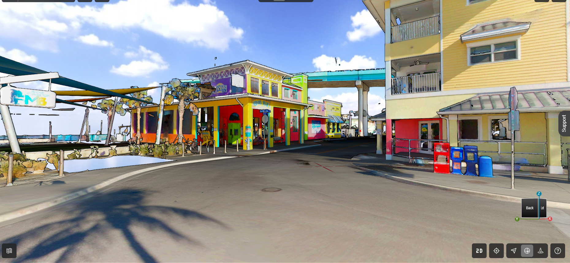
Get practical ideas and inspiration for how to use the cloud to elevate your digital reality data in construction, engineering, industrial plant projects and other applications.
On Demand
Most analysts estimate that 80% to 90% of all data is unstructured and therefore underutilized. If you capture and use point cloud data, you could be sitting on a gold mine. How do you harness the vast potential of this valuable resource?
Reality Cloud Studio, powered by HxDR, is the solution. Our experts will show you practical ways you can use the platform now to seamlessly share raw files, perform precise measurements, create engaging fly-throughs, and simplify your workflows. They’ll also give you a glimpse of what’s coming next and how it will help you take your internal operations, client relationships, and business growth to the next level.
YOU'LL LEARN
- How to access the most powerful tools and capabilities of Reality Cloud Studio
- How to centralize your point cloud data and stream it to wherever it’s needed
- How to supercharge your reality capture workflows and elevate your business
Whether you want to get more out of your existing Reality Cloud Studio license or you’re curious about how Leica laser scanning with Reality Cloud Studio can elevate your workflows, you won’t want to miss this session.

Michael Harvey has more than 23 years of experience in reality capture and laser scanning. As the US/CAN reality capture senior product manager and support and training manager for Leica Geosystems, Harvey develops High-Definition Surveying (HDS) laser scanning hardware/software, creates training materials, drives U.S. and Canada product launches, trains teams, and innovates workflows to boost business success. Follow Mike on LinkedIn.

Manny Lujan spent 10 years using Leica laser scanning technology in VDC and BIM applications before joining Leica Geosystems as reality capture support and trainer in 2019. Today, Manny focuses on helping professionals in all industries maximize their success with reality capture hardware and software. Follow Manny on LinkedIn.
To talk to one of our experts and learn more about how to optimize your surveying potential with technology, please contact us.


