

“This tight integration of multi-constellation GNSS, no-calibration tilt, and image-based positioning is significant in that the workflow is very well refined.”
– Gavin Schrock in Technology Review: New GS18 I GNSS RTK Rover Yields ‘Impressive Results’Follow the links below to learn more about the GS18 I GNSS RTK rover.

Interactive PDF Answers FAQs About the GS18 I GNSS RTK
This at-a-glance summary from the recent Q&A webinar covers the questions surveyors are asking most about the new GNSS RTK with visual positioning.
————-
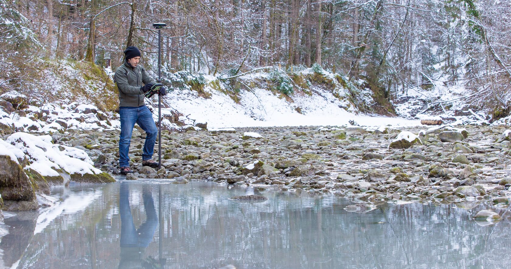
How GNSS with Visual Positioning Creates New Opportunities for Surveyors
If your RTK rover could see, how would that transform the services you offer your clients? What new doors would it open? Here’s one idea to consider.
————-
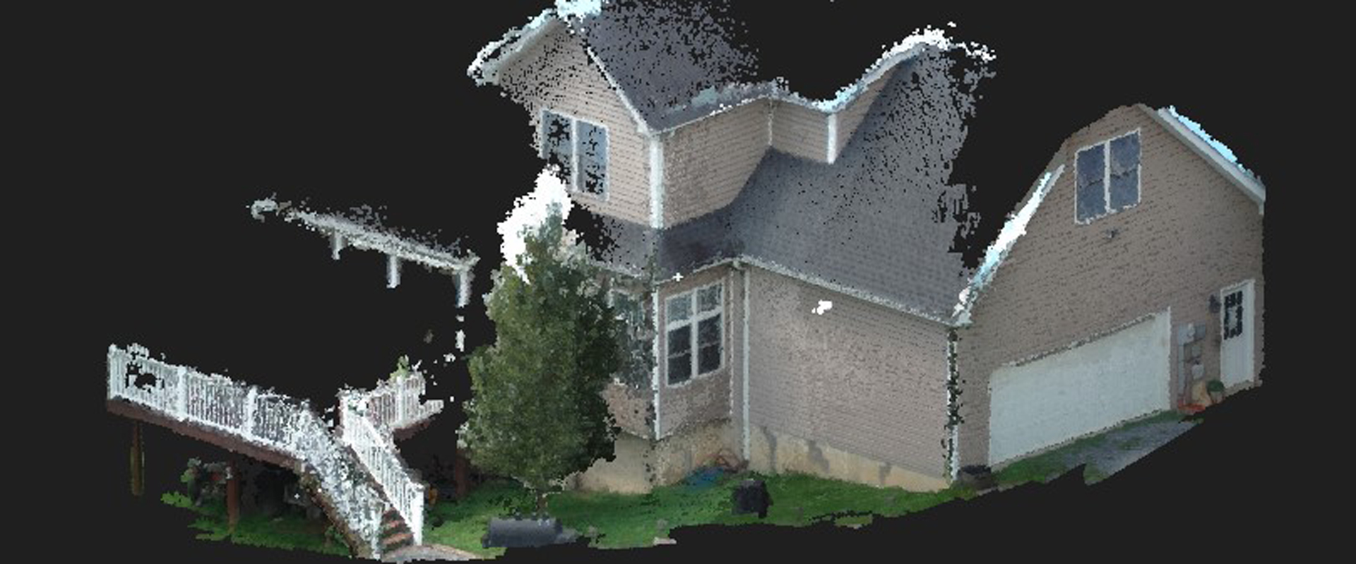
The Real Value of Point Clouds from Images
With the ability to generate point clouds from images, is laser scanning becoming obsolete? The answer might surprise you.
————-

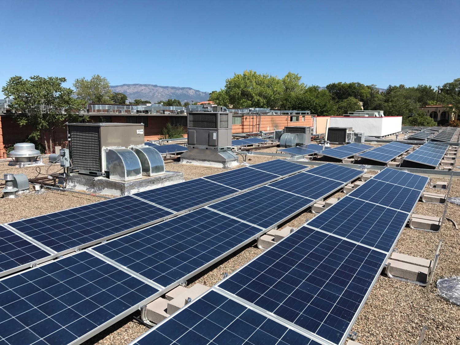
How the Latest GNSS Innovation Keeps Utility Surveyors Safer
The ability to capture accurate points from a distance with images provides a significant leap in safety and efficiency for subsurface utility engineering.
————-
How to Truly Benefit from GNSS Modernization
Taking full advantage of the rapidly increasing number of satellites and multifrequency signals requires dynamic surveying technology.
————-


To talk to one of our experts and learn more about how to optimize your surveying potential with technology, please contact us .


