Combining your expertise with the right technologies and reliable support empowers you to be fast, lean and effective on every project.
Finding and keeping top talent. Solving complex project challenges with confidence. Creating accurate, meaningful deliverables quickly with no compromises.
These are just some of the requirements to be successful in today’s fast-paced surveying and engineering professions.
Now more than ever, you need innovative and reliable methods to collect, process, analyze, deliver and archive your survey data. Complete field-to-finish data flows with full data traceability, multisensor data management, seamless data transfers, effortless setup, automated adjustments and immersive visualizations are essential to running fast and lean on every project. Your best resource is you and your people; armed with the best technology and trusted support, your potential is unlimited.
Are you ready to unlock your surveying and engineering potential? Explore new ideas below.
ON-DEMAND WEBINAR: SURVEYING TIPS, TRICKS & TECH
Tips, Tricks & Tech for High-Efficiency Surveying
Maximizing efficiency with technology requires more than just the right tool; you also need a strategic approach to training, operations and workflows. Join this 60-minute live Q&A on April 5 with Leica Geosystems’ subject matter experts to explore the real-world implications of some of the latest technology advances along with insights on how to put technology to work in your organization.
LEICA AP20 AUTOPOLE: THE WORLD'S SMARTEST POLE
Rethink What Your Prism Pole Can Do
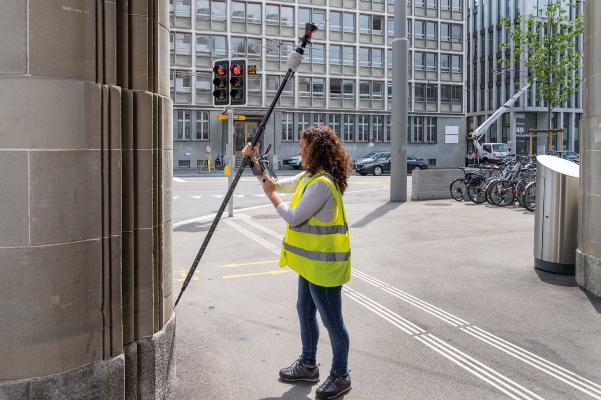
The new Leica AP20 AutoPole is the only smart pole that combines Tilt Compensation allowing measurements with a tilted pole, PoleHeight for automatic pole height readings, And TargetID for identifying unique targets precisely.
Increase Productivity with GNSS Innovations
Measurable Productivity Gains
How much faster could you finish your projects with a 25%+ increase in productivity? The latest GNSS RTK rovers deliver these benefits and more through visual positioning, tilt technology, powerful processing and other advanced capabilities. Discover GNSS Insights >
Deliver Speed with Intelligent Total Stations
Your AI Surveying Assistant
The intelligence to automatically adjust to environmental conditions, lock onto their own target while ignoring other distractions, measure their own height, and track their precise location to prevent theft make these modern total stations invaluable in the field. Discover Total Station Insights >
Grow Your Business with Laser Scanning
Experience the Power of Point Clouds
3D laser scanning can help you create new business opportunities, increase your competitiveness and improve productivity. Fit-for-purpose solutions ranging from professional-grade and high-speed terrestrial scanners to push-button and handheld solutions make it easy to put laser scanning to work for your firm. Discover Laser Scanning Insights >
Expand Your Success in Monitoring
Reduce Risk by Delivering Insight
From field apps to drag-and-drop dashboards, technology advances can help you deliver the most accurate measurements and tell the full story of a structure’s movement in real time to maximize value. Discover Monitoring Insights >
Fast Track Value with Mobile Mapping
High-Speed, High-Accuracy Data Capture
Unmatched safety, efficiency and agility in data collection along with rich visualization and survey-grade accuracy makes mobile mapping a high-value proposition for transportation and asset mapping projects.
Deliver High-Accuracy GIS
Real-Time Asset Intelligence
Simple operation, centimeter-level accuracy and integrated workflows make it easier than ever to deliver high-value GIS. For a bring-your-own-device approach, mobile apps simplify field GIS data capture. Discover GIS Insights >
Streamline Data Management
Save Time by Automating Repetitive Tasks
What else could you be doing with your time? Use the capabilities of modern field and office software to eliminate repetitive tasks, increase quality assurance and take back control of your schedule.
Accelerate Your Network RTK Corrections
High-Reliability GNSS Positioning
Knowing you’ll get high-precision, high-availability network RTK corrections for any application, using any constellation and any GNSS receiver enables you to work quickly and confidently.
To talk to one of our experts and learn more about how to optimize your surveying and mapping potential with technology, please contact us.


