How Surveying Technology Partnerships Create a Solid Foundation for Smart Cities
Friday, 22 November 2019
Accurate geospatial data is crucial to creating the cities of the future. Sam Dougherty, PLS, explains why working with the right technology partner matters.
- Published in Grow Your Business
Video Library: UAV Processing
Sunday, 03 November 2019
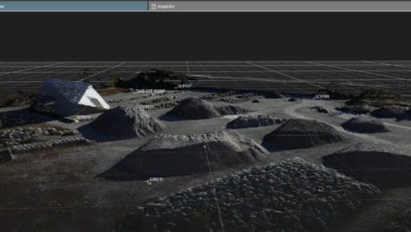
Learn how to use Leica Infinity software to easily import UAV data, orient images, add ground control points, and more.
- Published in Improve Your Skills
- 1
- 2


