

With the move to a virtual event in 2020, the Esri User Conference opened new doors for executives, educators, scientists and professionals to find and explore new solutions for digital data collection and mapping.
Leica Geosystems, a Hexagon company, featured several prominent subject matter experts at the event. To learn about the latest solutions in GIS, reality capture and detection, follow the links below to view the sessions on-demand.
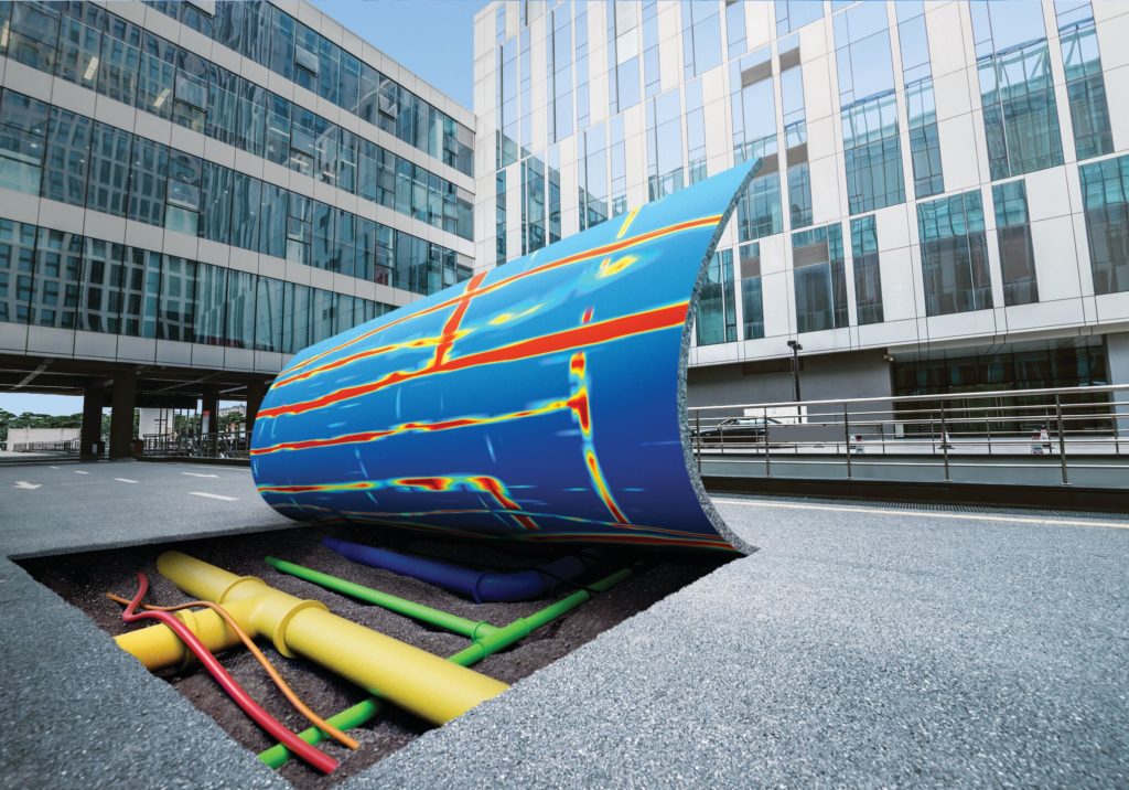
Ground Penetrating Radar for Everyone: Technology Advances that Simplify Underground Asset Detection
Presented by Simon Pedley
RELATED:
Webinar: Simple Way to Uncover Utilities and Reduce Utility Strikes with Leica DSX
Webinar: How to Quickly Build Your Business in Subsurface Utility Engineering
Interactive Virtual Demo: Explore Locators, GPR, and What Utility Detection Can Do for Your Business
GIS Field Data Collection Made Easy
Presented by Jason Hooten
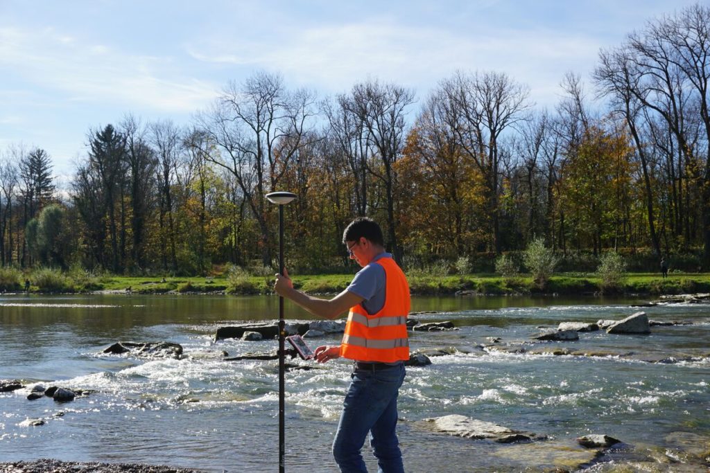
RELATED: GIS Integration Provides Path to Real-Time Asset Intelligence
How Innovations in Reality Capture Are Redefining GIS
Presented by Joshua Rayburn
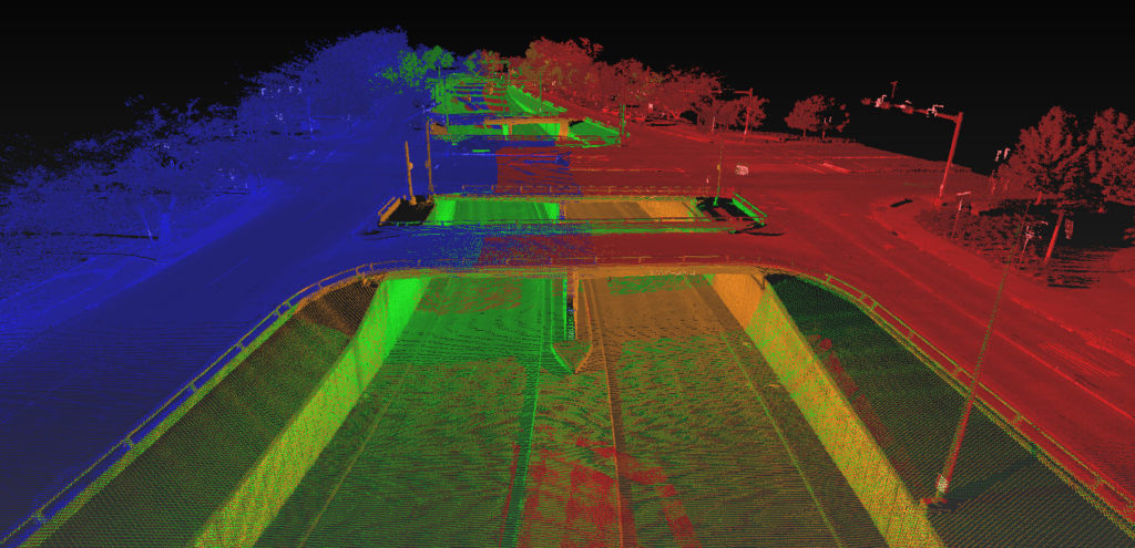
RELATED:
Webinar Series Guides Surveyors to Point Cloud Mastery
Learn the Basics of Mobile Mapping in This Webinar Series
Can You Achieve Survey-Quality Results with an Unmanned Aircraft System?
To talk to one of our experts and learn more about our GIS and surveying solutions, please contact us.


