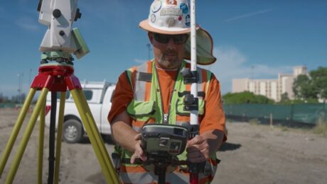
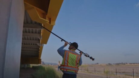
Video: How Zahner Uses Reality Capture to Break Down Communication Barriers in Architectural Design and Building Construction
Nathan Barnes and Ryan Sutton share insights on how they choose their technology and business partners in this Tech Insider interview.
- Published in Featured Grow Your Business, Grow Your Business
Video: When Should You Upgrade Your GNSS Surveying Technology?
The latest state-of-the-art in GNSS surveying technology provides impressive capabilities, but when should you consider an upgrade? Rami Tamimi compares the performance of an older model Leica GS15 with a Leica GS18 – and achieves surprising results.
- Published in Featured Grow Your Business, Grow Your Business
Technology Review Video: HxGN GeoCloud Drive Is ‘A Huge Saver of Time, Effort, and Frustration’
Surveyors from BKF Engineers talk about how the cloud service helps them save time and eliminate frustration through instant collaboration between the field and office.
- Published in Grow Your Business
Technology Review Video: AP20 AutoPole Is ‘The Best Tool I Have, Ultimately Saving Time’
Surveyors from BKF Engineers share how the innovative smart prism pole technology enables them to be highly efficient and effective on complex projects.
- Published in Grow Your Business
Technology Review Video: HxGN SmartNet GNSS Correction Service ‘Shortcuts Our Work and Worries’
Surveyors from BKF Engineers discuss the impact of a reliable RTK network on their ability to deliver client satisfaction.
- Published in Grow Your Business
Video: TRKing, Data Fusion, and Pushing the Limits of Surveying Technology
Langan’s Russell Hall shares insights on his first six months using the Pegasus TRK mobile mapping system and how he’s innovating with data fusion in this Tech Insider interview.
- Published in Featured Grow Your Business, Grow Your Business
Video: Rami Tamimi’s First Look at the New Leica GKP100 Keypad and CC180 Tablet
Rami Tamimi was one of the first to check out the new Captivate survey field controller options. What does he think?
- Published in Featured Grow Your Business, Grow Your Business
Video: Burke Asay Reviews the New Leica Captivate Controllers
The Leica Geosystems product manager shares what he thinks about the new lightweight, detachable GKP100 keypad and new CC180 tablet in this Tech Insider interview.
- Published in Featured Grow Your Business, Grow Your Business
Video: How BKF Engineers Is Redefining Excellence
Being an innovation leader requires the best people, technologies, and partnerships.
- Published in Grow Your Business
Video: The Art and Evolution of Surveying
U.S. Navy veteran, geomatics specialist, biker and artist Bill Murphy talks technology and trends in this Tech Insider interview.
- Published in Grow Your Business


