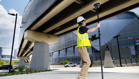
On-Demand Webinar: How to Use GNSS Innovations to Optimize Your Surveying Field Workflows
Advanced signal tracking, self-learning capabilities, tilt compensation, visual positioning—the latest advances offer big gains in safety, efficiency and scalability.
- Published in Grow Your Business
Video: How GNSS with Visual Positioning Creates New Opportunities for Surveyors
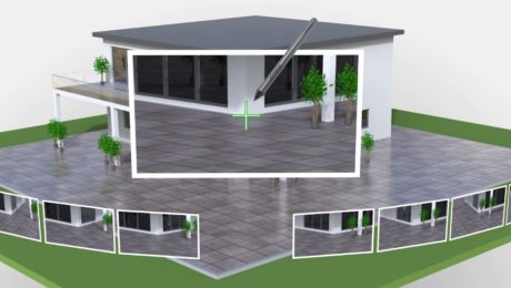
If your RTK rover could see, how would that transform the services you offer your clients? What new doors would it open? Here’s one idea to consider.
- Published in Grow Your Business
On-Demand Webinar: GS18 I – How GNSS with Visual Positioning Changes the Game for Surveyors
Go behind the scenes with the experts to learn about the innovative new GNSS RTK rover with visual positioning.
- Published in Grow Your Business
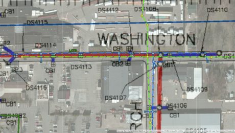
GIS Integration Provides Path to Real-Time Asset Intelligence
A GNSS smart antenna with an integrated GIS workflow increases efficiency, ensures accuracy and accelerates the turnaround of deliverables to clients.
- Published in Grow Your Business
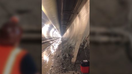
Video: Band Scanning Solves Tunnel Measurement Challenge
Using the Leica MS60 with the new band scanning method enables surveyors to capture comprehensive data in a tunnel 200 feet underground.
- Published in Featured Grow Your Business, Featured Home, Grow Your Business
Video: How Technology Affects Speed in a Topographic Survey
A test of the MS60 MultiStation with the GS18T RTK rover and Smartpole shows how quickly you can perform a site topo if you have the right technology.
- Published in Grow Your Business
Video: How Stahl Sheaffer Uses Reality Capture to Maximize Data Quality
Jonathan Efaw, Stahl Sheaffer LiDAR manager, explains how technology empowers the firm to drive innovation in surveying and engineering excellence.
- Published in Grow Your Business
