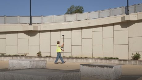
The Safety and Efficiency Advantage of GNSS with Visual Positioning
Measure hundreds of points in minutes, reach previously inaccessible points, and capture points from a distance to achieve significant safety and efficiency gains.
- Published in Featured Grow Your Business, Grow Your Business, Hide
Thank you. Here’s your webinar: GS18 I – How GNSS with Visual Positioning Changes the Game for Surveyors
Go behind the scenes with the experts to learn about the innovative new GNSS RTK rover with visual positioning.
- Published in Hide
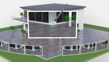
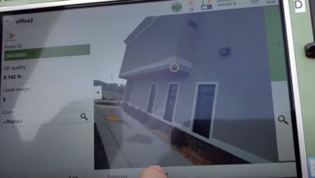
Video: Measuring from Photos in the Field with the GS18 I
Measuring from images in the field is fast and simple with the new GNSS smart antenna with visual positioning. This video shows you how it works.
- Published in Improve Your Skills
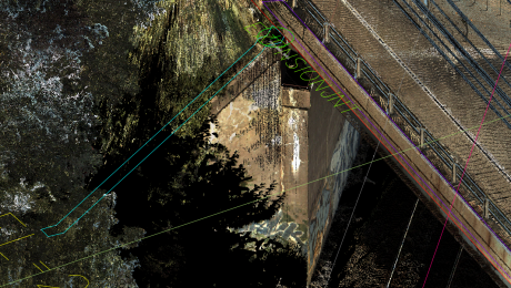
Video: How Stahl Sheaffer Uses Reality Capture to Maximize Data Quality
Jonathan Efaw, Stahl Sheaffer LiDAR manager, explains how technology empowers the firm to drive innovation in surveying and engineering excellence.
- Published in Grow Your Business
Video: How E. L. Robinson Delivers Fast, Accurate and Dependable Surveying and Mapping
Tom Rayburn, LS, manager of surveying at E.L. Robinson, shares what sets the firm apart in providing fast, accurate and dependable surveying and mapping.
- Published in Grow Your Business
How BL Companies Provides Premier Service with Point Clouds
Don Smith of BL Companies, shares how his firm uses advanced technology, including laser scanning and immersive 3D field software, to achieve an innovative approach that keeps clients coming back for new projects.
- Published in Grow Your Business
- 1
- 2


