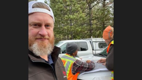
Who is Russell Snell? 8 Things You Should Know About the California-Based Leica Geosystems Sales Engineer
You might know Russell as a technical support rep or survey technology trainer. Here’s more of his story.
- Published in Grow Your Business
Is a CCP Worth It? Three Things to Consider Before You Buy
A customer care package can provide significant value over the life of your technology investment. Here’s how.
- Published in Grow Your Business
This Small Survey Technology Mistake Could Cost You a Bundle
Having the right technology can help you maximize productivity, but don’t overlook this important detail.
- Published in Featured Grow Your Business, Grow Your Business
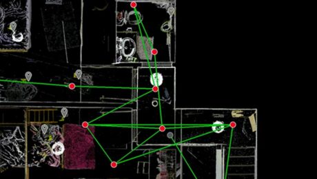
The Difference Between New Technology and Innovation in Mobile Mapping
Just because a technology is new doesn’t make it innovative. Jason Ellis explains why the distinction matters.
- Published in Grow Your Business
3 Keys to Fostering a Safety-First Mindset for Surveyors
Keeping your people safe on the job requires creating a safety culture. Here’s how Lamb-Star Engineering puts safety-first into practice.
- Published in Improve Your Skills
How to Expand Your Career with Laser Scanning
Whether you’re looking for a new area of focus or a creative way to expand your existing surveying business, this professional’s story can serve as an inspiration.
- Published in Improve Your Skills
What’s Your Surveying Technology Contract Missing?
How can you make sure your technology partner is looking out for your best interests, and not just their own? Here are three key components of a favorable technology contract.
- Published in Hide
How to Unlock Four Benefits of Reality Capture in Surveying
Surveyors active in the 3D imaging space agree: Education is the key to recruitment, retention, optimized return on investment, and the readiness to be innovative and take on the next opportunity.
- Published in Grow Your Business
Four Keys to Finding Success, Work-Life Balance, and Career Enjoyment in Surveying
Finding happiness in the high-demand profession of surveying is mostly a matter of creating it.
- Published in Grow Your Business
How to Scale a Small Surveying Business in a Talent Crunch
Hiring more people is one way to expand your capabilities to meet demand for more surveys. But it’s not the only way.
- Published in Featured Grow Your Business, Featured Home, Grow Your Business
