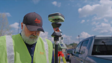
Video: Why You Should Use This GNSS Antenna with Your Total Station
Here’s one way to be prepared for anything you might encounter on your next survey.
- Published in Improve Your Skills
Thank you. Here’s your webinar: RTK GNSS Technology Selection and Field Productivity Tips
- Published in Hide
Five Red Flags That Indicate It’s Time to Buy a New GNSS Receiver
Recognize these warning signs and know the advantages new technology can bring to your surveying business.
- Published in Grow Your Business, Improve Your Skills
REALITY CAPTURE EDUCATION SERIES:
How to Create Impressive Surface Models in a Snap
Join Seth Gulich in this on-demand session to learn a lightning-fast way to create survey deliverables that are loaded with detail.
- Published in Featured Improve Your Skills, Improve Your Skills
7 Tips to Implement Surveying SOPs with 100 Percent Compliance
Developing and standardizing new procedures is one of the biggest challenges facing surveying and mapping firms. Here are some strategies to ease the process.
- Published in Improve Your Skills
Video: How to Change the Value Proposition of Surveying & Mapping
Challenger Geomatics shares insights on the role of innovation in value perception in this informative Tech Insider interview.
- Published in Grow Your Business
Video: What Surveyors Need to Know About the New Leica GS05 GNSS Smart Antenna
Burke Asay shares the capabilities that stand out for him in Leica’s newest high-quality GNSS receiver, and why he’s excited about the improvements in total station/GNSS interoperability.
- Published in Improve Your Skills
Video: Where the Magic Happens in Reality Capture and What Comes Next
Senior Reality Capture Product Manager Michael Harvey delves into the most meaningful reality capture developments, the biggest challenges, and exciting new opportunities in this intriguing Tech Insider interview.
- Published in Featured Grow Your Business, Grow Your Business
Video: How Zahner Uses Reality Capture to Break Down Communication Barriers in Architectural Design and Building Construction
Nathan Barnes and Ryan Sutton share insights on how they choose their technology and business partners in this Tech Insider interview.
- Published in Featured Grow Your Business, Grow Your Business
Webinar: RTK GNSS Technology Selection and Field Productivity Tips
Join Burke Asay in this on-demand session to get his insights on how to evaluate all the recent capabilities of GNSS technology and what the new Leica GS05 brings to the surveying profession, as well as tips to maximize productivity and quality.
- Published in Featured Home, Featured Improve Your Skills, Improve Your Skills


