Video: When Should You Upgrade Your GNSS Surveying Technology?
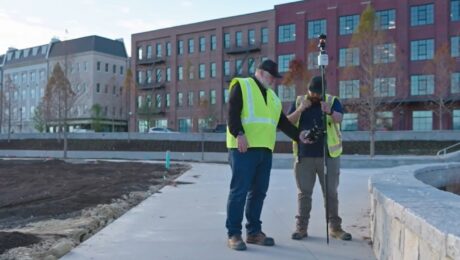
The latest state-of-the-art in GNSS surveying technology provides impressive capabilities, but when should you consider an upgrade? Rami Tamimi compares the performance of an older model Leica GS15 with a Leica GS18 – and achieves surprising results.
- Published in Featured Grow Your Business, Grow Your Business
Thank you. Here’s your webinar: Ask the Reality Capture Experts
- Published in Hide
Video: The Easiest Way to Eliminate Busted Rod Heights in Your Surveys
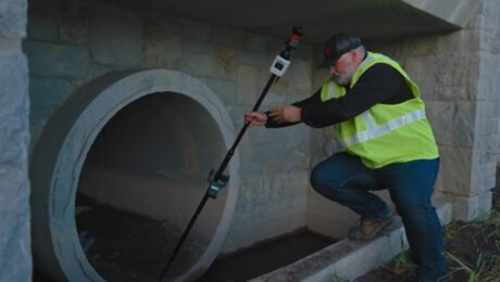
Burke Asay shows you how to fix rod height errors without compromising productivity.
- Published in Improve Your Skills
Video: How to Achieve 100% Position Quality Verification on All Your Control Points
Burke Asay shows an easy way to achieve high accuracy and verify position quality in your survey data.
- Published in Improve Your Skills
Video: How to Survey a Complex Jobsite in Under 15 Minutes While Capturing Extreme Detail
Burke Asay shows how to use the Leica MS60 band scanning capability to scan small, complex areas within a conventional total station workflow for a fast and easy solution.
- Published in Improve Your Skills
Technology Review Video: HxGN GeoCloud Drive Is ‘A Huge Saver of Time, Effort, and Frustration’
Surveyors from BKF Engineers talk about how the cloud service helps them save time and eliminate frustration through instant collaboration between the field and office.
- Published in Grow Your Business
Technology Review Video: AP20 AutoPole Is ‘The Best Tool I Have, Ultimately Saving Time’
Surveyors from BKF Engineers share how the innovative smart prism pole technology enables them to be highly efficient and effective on complex projects.
- Published in Grow Your Business
Technology Review Video: HxGN SmartNet GNSS Correction Service ‘Shortcuts Our Work and Worries’
Surveyors from BKF Engineers discuss the impact of a reliable RTK network on their ability to deliver client satisfaction.
- Published in Grow Your Business
REALITY CAPTURE EDUCATION SERIES:
Ask the Experts – Q&A Recording
Did anyone stump the Leica Geosystems reality capture trainers in the live, interactive Q&A session? Watch the on-demand recording and take away new skills that will help your productivity soar.
- Published in Featured Home, Featured Improve Your Skills, Improve Your Skills
Video: TRKing, Data Fusion, and Pushing the Limits of Surveying Technology
Langan’s Russell Hall shares insights on his first six months using the Pegasus TRK mobile mapping system and how he’s innovating with data fusion in this Tech Insider interview.
- Published in Featured Grow Your Business, Grow Your Business

