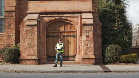
Video: Pro Tip – How to Capture Intricate Architectural Details with GNSS
Detailed building façade surveys can be done quickly and easily using GNSS with visual positioning technology.
- Published in Featured Improve Your Skills, Improve Your Skills
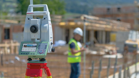
A Simple Way to Streamline Total Station Setup
Eliminating the need to manually measure your instrument height saves valuable time in the field so you can finish the job faster.
- Published in Improve Your Skills
Thank you. Here’s your webinar: How ODOT Captures Intelligence with Mobile Mapping
Join us at 1 pm EST on March 11 to learn how TWM launched its land surveying department into an entirely new trajectory as a self-sufficient leader in billings, profit and innovation.
- Published in Hide
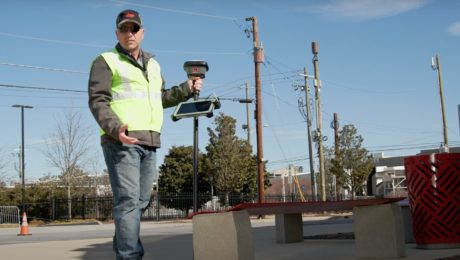
Video: Pro Tip – How to Anticipate Every Data Need with Your GNSS Survey
Streamline your surveys and avoid return site visits knowing you can pull any measurement you need from the dataset once you’re back in the office.
- Published in Featured Improve Your Skills, Improve Your Skills
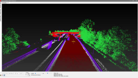
Video Library: Basics of Cyclone REGISTER 360
Learn from reality capture expert Brian Elbe how to optimize settings, extract targets, handle user coordinate systems (UCS) and other capabilities in REGISTER 360.
- Published in Improve Your Skills
How RQAW Makes Surveying Smarter
An in-house surveying department with innovative GNSS technology gives an Indiana-based engineering and architecture firm an edge in safety, productivity and service excellence.
- Published in Featured Grow Your Business, Grow Your Business
Video Library: Basics of Cyclone
Learn from reality capture expert Brian Elbe how to register and import scan data, navigate a point cloud, and other basic point cloud processing operations.
- Published in Improve Your Skills
Thank you. Here’s your webinar: How to Unlock Your Surveying Potential with Reality Capture
Join us at 1 pm EST on March 11 to learn how TWM launched its land surveying department into an entirely new trajectory as a self-sufficient leader in billings, profit and innovation.
- Published in Hide
How to Use Total Stations Effectively in Asset Monitoring
Total stations can be a good choice for asset positional monitoring—if you apply them intelligently.
- Published in Improve Your Skills
Why Monitoring Is a Surveyor’s Service
Asset monitoring is a growth market for surveyors ready to grasp the opportunity.
- Published in Improve Your Skills
