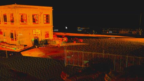
New Autonomous Reality Capture Sensors Make Digital Twins Effortless
New fully autonomous solutions safely and repeatedly capture accurate 3D point clouds and panoramic images of changing environments with minimal user intervention.
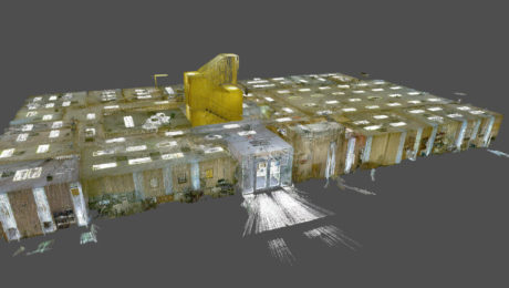
Survey Digitalization and the Power of Visualization
Want to improve project communication within your organization and with your clients? Point clouds and flythrough videos speak volumes.
- Published in Featured Grow Your Business, Featured Home, Grow Your Business
How to Grow Your Business with Monitoring
Discover how you can deliver the most accurate measurements needed for monitoring applications and display data easily for analysis.
- Published in Featured Grow Your Business, Grow Your Business
Morrison-Shipley Sets New Benchmark for Fast-Turnaround Reality Capture
A handheld imaging laser scanner proves invaluable in meeting a tight project timeline.
- Published in Featured Grow Your Business, Grow Your Business
Small Business, Big Service: How Gromatici Land Surveying Delivers Impressive Efficiency and Quality
An innovative business approach blazes new trails for how surveying will be performed in the future.
- Published in Featured Grow Your Business, Grow Your Business
On-Demand Webinar – Surveying Reimagined: How Ingenuity and Innovation Create New Opportunities
Learn how McLaren Engineering Group’s transformative approach to surveying leads to business growth, client satisfaction, employee happiness and outstanding results.
- Published in Featured Grow Your Business, Featured Home, Grow Your Business
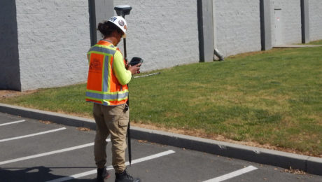
Blair, Church & Flynn Strengthens Surveying Leadership with Investment in GNSS Innovation
Using the GS18 I GNSS RTK rover with visual positioning provides marked improvement in surveyor safety and efficiency while maintaining outstanding quality.
- Published in Featured Grow Your Business, Featured Home, Grow Your Business
How RQAW Makes Surveying Smarter
An in-house surveying department with innovative GNSS technology gives an Indiana-based engineering and architecture firm an edge in safety, productivity and service excellence.
- Published in Featured Grow Your Business, Grow Your Business
How to Grow Your Business with 3D Laser Scanning
3D laser scanning can help you create new opportunities, increase your competitiveness and improve productivity. Learn how to put laser scanning to work for your firm.
- Published in Featured Grow Your Business, Grow Your Business
Survey Digitalization and the Power of Visualization
Want to improve project communication within your organization and with your clients? Point clouds and flythrough videos speak volumes.
- Published in Featured Grow Your Business, Featured Home, Grow Your Business

