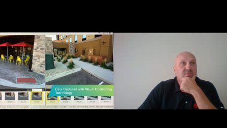
Video: FIG Young Surveyors’ Conference Presentation Highlights Surveying Sustainability
Jason Houle of Leica Geosystems presents an engaging look at how to harness technology for an agile, sustainable future.
- Published in Grow Your Business
Smart Antennas Enable High-Accuracy GIS Data Collection
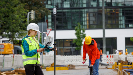
Compact, affordable, easy to use and highly flexible, the latest smart antennas provide centimeter-level accuracy for intelligent asset mapping.
- Published in Improve Your Skills
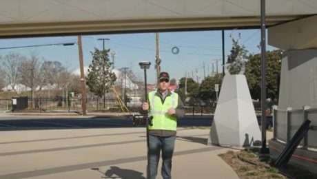
Video: Pro Tip – Visual Positioning Explained
See how easy it is to capture image groups as you walk with the GS18 I.
- Published in Improve Your Skills
Blair, Church & Flynn Strengthens Surveying Leadership with Investment in GNSS Innovation
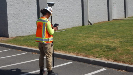
Using the GS18 I GNSS RTK rover with visual positioning provides marked improvement in surveyor safety and efficiency while maintaining outstanding quality.
- Published in Featured Grow Your Business, Featured Home, Grow Your Business
Deformation Monitoring Networks: Optimizing Communication
What’s the best way to implement network communications? Here are the key considerations for the three most common communication methods.
- Published in Improve Your Skills
Deformation Monitoring Networks: Simulation, Accuracy and Redundancy
Knowing how to simulate a network to test performance as well as how to balance accuracy and redundancy will help you optimize your network design.
- Published in Improve Your Skills
Deformation Monitoring Networks: Adjustment and Analysis
When establishing a deformation monitoring network, knowing how to adjust and analyze the network is crucial to success.
- Published in Improve Your Skills
Stake Your Claim Now in Deformation Monitoring
Deformation monitoring is becoming increasingly common on projects of all sizes, leading to new opportunities for surveyors.
- Published in Improve Your Skills
When to Use GNSS Monitoring
Should you use total stations or GNSS for your monitoring project? This brief overview can help you decide.
- Published in Improve Your Skills
Four Critical Factors in Tall Building Vertical Alignment
These guidelines can help you choose the system that will keep your tall building plumb during construction.
- Published in Improve Your Skills
