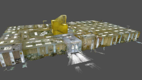
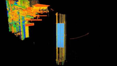
Morrison-Shipley Sets New Benchmark for Fast-Turnaround Reality Capture
A handheld imaging laser scanner proves invaluable in meeting a tight project timeline.
- Published in Featured Grow Your Business, Grow Your Business
On-Demand Webinar – Monitoring 101: Easy Ways to Launch and Grow Your Monitoring Capabilities
Learn how to take your campaign monitoring services to the next level in Part 1 of our new Monitoring webinar series.
- Published in Featured Home, Featured Improve Your Skills, Improve Your Skills
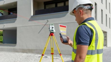
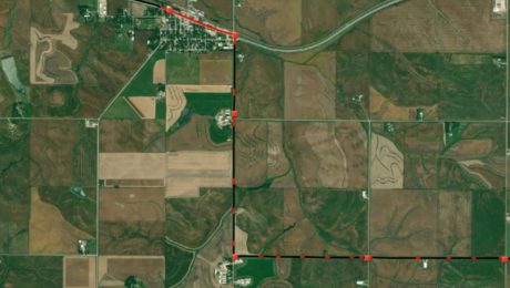
Small Business, Big Service: How Gromatici Land Surveying Delivers Impressive Efficiency and Quality
An innovative business approach blazes new trails for how surveying will be performed in the future.
- Published in Featured Grow Your Business, Grow Your Business
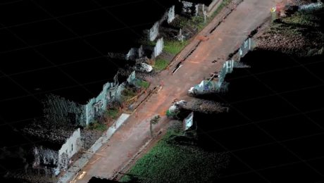
Video: How GNSS with Visual Positioning Streamlines Road Construction Surveys
Andrew Gillis of Leica Geosystems shows a fast, easy way to collect survey data for a road construction project using the GS18 I GNSS smart antenna.
- Published in Improve Your Skills
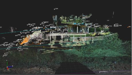
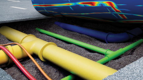
How Precision Underground Utilities Is Making Real-Time, High-Accuracy Underground Utility Maps a Reality
An underground utility contractor delivers high value GIS with smart antennas and intuitive mobile data capture software.
- Published in Grow Your Business
Video Library: Cyclone Model Tutorials
Learn from reality capture expert Matthew Brown how to advance your skills in 3D modeling using Cyclone MODEL software.
- Published in Improve Your Skills
On-Demand Webinar – Surveying Reimagined: How Ingenuity and Innovation Create New Opportunities
Learn how McLaren Engineering Group’s transformative approach to surveying leads to business growth, client satisfaction, employee happiness and outstanding results.
- Published in Featured Grow Your Business, Featured Home, Grow Your Business
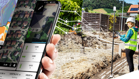
How Mobile Apps Simplify GIS Field Data Capture
The latest mobile apps keep field data collection simple while giving you a host of professional data capture functions to increase your productivity.
- Published in Improve Your Skills
