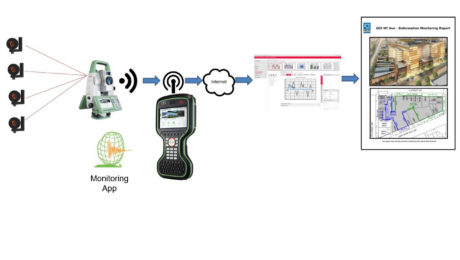
Want to Grow Your Business in Monitoring? A Little Automation Can Go a Long Way
If you’re still tracking your campaign monitoring results in spreadsheets, here’s an easy way to do it better.
- Published in Grow Your Business, Improve Your Skills
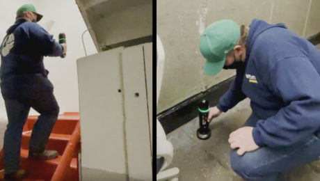
Innovative Laser Scanning Approach Yields Rapid Results in Time-Critical Surveying Project
When high-speed wasn’t fast enough, McLaren Engineering Group turned to high-tech in the form of a handheld imaging laser scanner to deliver the ultimate value.
- Published in Grow Your Business
On-Demand Webinar – Monitoring 103: Using GNSS and Network Infrastructure for Real-Time and Long-Term Monitoring
Learn when to use GNSS in your installed monitoring projects and how to optimize the network infrastructure.
- Published in Featured Improve Your Skills, Improve Your Skills
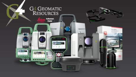
A ‘Technology Consultancy’: G4 Geomatic Resources Takes Innovative Approach to Equipment, Service and Support
New business combines the expertise of G4 Spatial Technologies, Geomatic Resources, Easy Drive and Leica Geosystems Houston to create the ultimate technology resource in Texas and Oklahoma.
- Published in Featured Grow Your Business, Featured Home, Grow Your Business
Video: How to Accelerate FF/FL Reporting with a Simple Software Plugin
Peyton Hatch shows an easy way to create FF/FL reports from point clouds using Leica CloudWorx.
- Published in Improve Your Skills
On-Demand Webinar – Monitoring 102: Using Total Stations and Laser Scanning to Provide Real-Time Results
Expand your monitoring capabilities by exploring the next level of automation.
- Published in Featured Improve Your Skills, Improve Your Skills
New Autonomous Reality Capture Sensors Make Digital Twins Effortless
New fully autonomous solutions safely and repeatedly capture accurate 3D point clouds and panoramic images of changing environments with minimal user intervention.
How to Grow Your Business with Monitoring
Discover how you can deliver the most accurate measurements needed for monitoring applications and display data easily for analysis.
- Published in Featured Grow Your Business, Grow Your Business
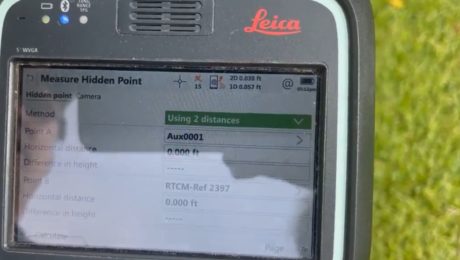
Video: Three Fast and Easy Ways to Survey a Hidden Point
G4 Geomatic Resources’ Jeff Ryall shows three ways to use the CS20 Disto option with GNSS RTK to survey an inaccessible point so you can quickly finish your field work.
- Published in Improve Your Skills
How to Be Successful in Reality Capture
Adding reality capture to your surveying tool set can create significant opportunities for new business. Jason Larson, PLS, of McLaren Engineering Group, provides insights on how to do it well.
- Published in Grow Your Business
