Video: TS20 AI-Powered Total Station Unveiled
Join Leica Geosystems’ Burke Asay, Russell Snell and Richard Ostridge as they explore the TS20—a ground-up redesign that adds on-board AI, fast (and quiet) motors, IP66 ruggedness, Linux-based performance, and some surprisingly thoughtful touches.
Leica’s New TS20 Robotic Total Station Brings Edge AI to the Field
What if your total station could think for itself—spot mistakes before you make them, adapt to the weather, and lock itself down if stolen? The AI-powered TS20 does all this and more, marking a new era in surveying technology.
- Published in Featured Grow Your Business, Featured Home, Featured Improve Your Skills
The Art of Surveying: Transforming Technical Data into Beautiful Visualizations
From preserving cultural landmarks to democratizing data for broader audiences, modern surveyors are redefining the profession to prove that precision and creative execution can co-exist.
- Published in Featured Grow Your Business, Grow Your Business
Leading with Empathy in Surveying: What Your Firm Culture Could Look Like
Want to make an impact beyond the actual jobs to be done? Here are 3 lessons to add lasting value to your team, clients, and deliverables.
- Published in Featured Grow Your Business, Grow Your Business
Webinar: Why Would I Need THAT Surveying Instrument?
Join us in this on-demand session to discover the surprising applications of scanning total stations, imaging GNSS receivers, tilt-compensating prism poles, and more.
- Published in Featured Grow Your Business, Grow Your Business
3 Things Successful Survey Companies Do Differently
Craig Williams, PS, and Brian Elbe, PS, of Leica Geosystems along with Russell Hall, PLS, of Langan shared their insights on a recent episode of The Geoholics.
- Published in Featured Grow Your Business, Grow Your Business
Video: Where the Magic Happens in Reality Capture and What Comes Next
Senior Reality Capture Product Manager Michael Harvey delves into the most meaningful reality capture developments, the biggest challenges, and exciting new opportunities in this intriguing Tech Insider interview.
- Published in Featured Grow Your Business, Grow Your Business
Video: How Zahner Uses Reality Capture to Break Down Communication Barriers in Architectural Design and Building Construction
Nathan Barnes and Ryan Sutton share insights on how they choose their technology and business partners in this Tech Insider interview.
- Published in Featured Grow Your Business, Grow Your Business
Video: When Should You Upgrade Your GNSS Surveying Technology?
The latest state-of-the-art in GNSS surveying technology provides impressive capabilities, but when should you consider an upgrade? Rami Tamimi compares the performance of an older model Leica GS15 with a Leica GS18 – and achieves surprising results.
- Published in Featured Grow Your Business, Grow Your Business
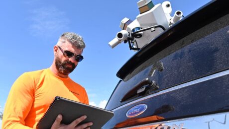
Video: TRKing, Data Fusion, and Pushing the Limits of Surveying Technology
Langan’s Russell Hall shares insights on his first six months using the Pegasus TRK mobile mapping system and how he’s innovating with data fusion in this Tech Insider interview.
- Published in Featured Grow Your Business, Grow Your Business


