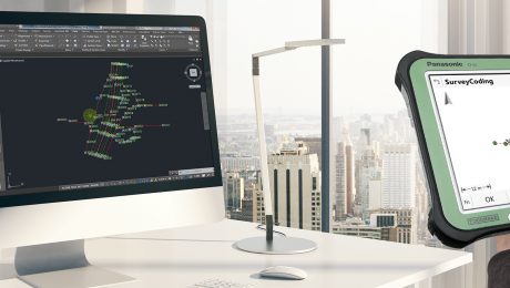
Do You Know What Your Total Stations and GNSS Receivers Can Really Do?
Your cutting-edge surveying and engineering technology is only as good as the people using it. Here’s why training is one of the best investments you can make in your business.
- Published in Improve Your Skills
How to Safeguard Your Surveying Gear with Technology
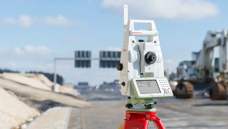
Robotic total stations are making a comeback in high-crime areas thanks to new anti-theft solutions.
- Published in Improve Your Skills
Video Library: UAV Processing
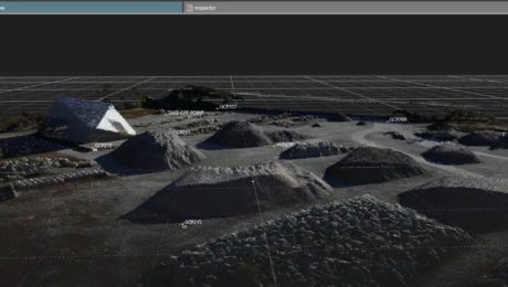
Learn how to use Leica Infinity software to easily import UAV data, orient images, add ground control points, and more.
- Published in Improve Your Skills
How Much Time Can You Save with a GS18 T GNSS Rover?
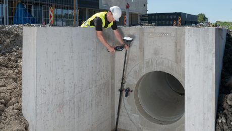
The Leica GS18 T was introduced in 2017 as “the world’s fastest GNSS RTK rover.” But what does that mean to you?
- Published in Improve Your Skills
On-Demand Webinar: How to Supercharge Your Surveying with a MultiStation
For more than five years, only one scanning total station has been good enough to be chosen first for its fast, precise robotic total station capabilities: the Leica Nova MultiStation.
- Published in Featured Improve Your Skills, Improve Your Skills
Three Essential Elements of a Successful Mobile Mapping Partnership
If you’re teaming up with another organization to complete a project, here’s how you can ensure everything runs smoothly and efficiently.
- Published in Improve Your Skills
How Cross-Training Drives Productivity in Mobile Mapping
The back-office adjustments of mobile mapping are easy to navigate as long as you prepare for them and offer training to your workforce.
- Published in Improve Your Skills
