Video Library: How to Use the GS18 I GNSS RTK Rover
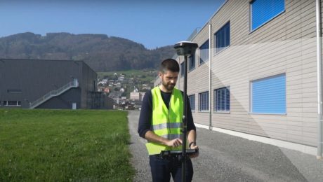
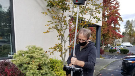
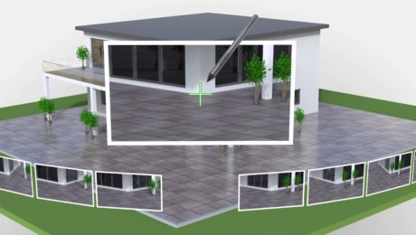
The world’s first GNSS smart antenna with visual positioning technology allows you to measure points remotely in images. See how to use this capability to your advantage.
- Published in Improve Your Skills
On-Demand Webinar Shows Optimal Survey Data Workflow Using Infinity Software
If you’re still taking your GNSS and other survey data directly from the field into CAD, you need to see what you’re missing.
- Published in Improve Your Skills
Technology Review: New GS18 I GNSS RTK Rover Yields ‘Impressive Results’
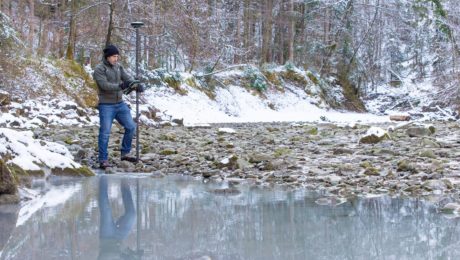
How does a GNSS RTK rover with visual positioning perform in the real world? Gavin Schrock of Geospatial World put the integrated sensor technology to the test.
- Published in Featured Grow Your Business, Grow Your Business
How to Truly Benefit from GNSS Modernization
Taking full advantage of the rapidly increasing number of satellites and multifrequency signals requires dynamic surveying technology.
- Published in Featured Home, Featured Improve Your Skills, Improve Your Skills
On-Demand Webinar: How to Use GNSS Innovations to Optimize Your Surveying Field Workflows
Advanced signal tracking, self-learning capabilities, tilt compensation, visual positioning—the latest advances offer big gains in safety, efficiency and scalability.
- Published in Grow Your Business
Video: What Makes the GS18I Different from Other Sensors?
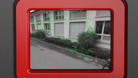
Other GNSS sensors in the past have offered imaging capabilities, but the GS18I uses a different approach that provides remarkable results.
- Published in Improve Your Skills
Video: How GNSS with Visual Positioning Creates New Opportunities for Surveyors
If your RTK rover could see, how would that transform the services you offer your clients? What new doors would it open? Here’s one idea to consider.
- Published in Grow Your Business
Interactive PDF Answers FAQs About the GS18 I GNSS RTK
This at-a-glance summary from the recent Q&A webinar covers the questions surveyors are asking most about the new GNSS RTK with visual positioning.
- Published in Improve Your Skills
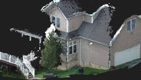
The Real Value of Point Clouds from Images
With the ability to generate point clouds from images, is laser scanning becoming obsolete? The answer might surprise you.
- Published in Featured Home, Featured Improve Your Skills, Improve Your Skills
On-Demand Webinar: GS18 I – How GNSS with Visual Positioning Changes the Game for Surveyors
Go behind the scenes with the experts to learn about the innovative new GNSS RTK rover with visual positioning.
- Published in Grow Your Business
