‘No Surveying Problem We Can’t Solve’
Surveyors at E.L. Robinson Engineering deliver exceptional quality and efficiency through a culture that prioritizes innovation, including the best in laser scanning and total station technology.
- Published in Grow Your Business
One Way to Know if You Can Trust the Accuracy of a Tilt Rover
Tilt compensating RTK GNSS antennas promise significant productivity gains, but do they deliver on accuracy? If the brand is Leica Geosystems, the answer is yes. Here’s why.
- Published in Featured Home, Grow Your Business
Five Red Flags That Indicate It’s Time to Buy a New GNSS Receiver
Recognize these warning signs and know the advantages new technology can bring to your surveying business.
- Published in Grow Your Business, Improve Your Skills
Webinar: RTK GNSS Technology Selection and Field Productivity Tips
Join Burke Asay in this on-demand session to get his insights on how to evaluate all the recent capabilities of GNSS technology and what the new Leica GS05 brings to the surveying profession, as well as tips to maximize productivity and quality.
- Published in Featured Home, Featured Improve Your Skills, Improve Your Skills
Secrets from the Surveying Firm That Is Accelerating Solar Farm Construction
Combining the speed of a tilt rover with the automation of stylesheets has propelled Challenger Geomatics to the forefront of high-efficiency surveying for large-scale renewable energy projects.
- Published in Featured Grow Your Business, Featured Home, Grow Your Business
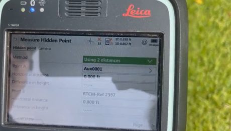
Video: Three Fast and Easy Ways to Survey a Hidden Point
G4 Geomatic Resources’ Jeff Ryall shows three ways to use the CS20 Disto option with GNSS RTK to survey an inaccessible point so you can quickly finish your field work.
- Published in Improve Your Skills
Blair, Church & Flynn Strengthens Surveying Leadership with Investment in GNSS Innovation
Using the GS18 I GNSS RTK rover with visual positioning provides marked improvement in surveyor safety and efficiency while maintaining outstanding quality.
- Published in Featured Grow Your Business, Featured Home, Grow Your Business
On-Demand Webinar Shows Optimal Survey Data Workflow Using Infinity Software
If you’re still taking your GNSS and other survey data directly from the field into CAD, you need to see what you’re missing.
- Published in Improve Your Skills
How to Truly Benefit from GNSS Modernization
Taking full advantage of the rapidly increasing number of satellites and multifrequency signals requires dynamic surveying technology.
- Published in Featured Home, Featured Improve Your Skills, Improve Your Skills
Video: How Technology Affects Speed in a Topographic Survey
A test of the MS60 MultiStation with the GS18T RTK rover and Smartpole shows how quickly you can perform a site topo if you have the right technology.
- Published in Grow Your Business


