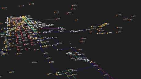
Video: Pro Tip – How to Anticipate Every Data Need with Your GNSS Survey
Streamline your surveys and avoid return site visits knowing you can pull any measurement you need from the dataset once you’re back in the office.
- Published in Featured Improve Your Skills, Improve Your Skills
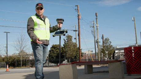
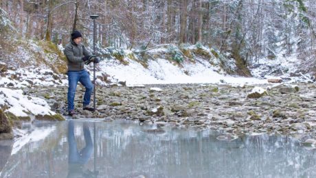
Video: Pro Tip – How to Survey Areas with Limited Access Using GNSS
Surveying behind a security gate or other inaccessible area is no problem with the GS18 I.
- Published in Featured Improve Your Skills, Improve Your Skills
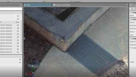
Video: Pro Tip – How to Capture Every Detail with GNSS
See how GNSS with visual positioning lets you easily capture details like broken brick corners so you can deliver better survey results.
- Published in Featured Improve Your Skills, Improve Your Skills
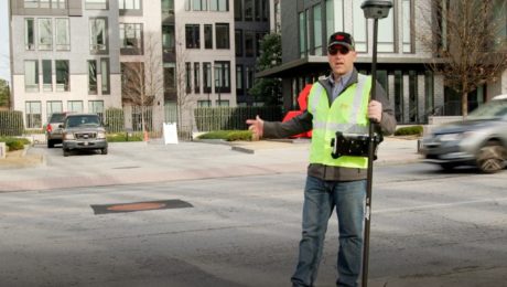
Video: Pro Tip – How to Use GNSS to Stay Safe in the Field
See how to capture manholes from the safety of the sidewalk with the help of visual positioning.
- Published in Featured Improve Your Skills, Improve Your Skills
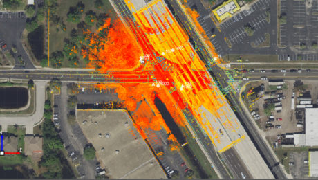
Three Ways Your Surveying Practices Might Be Falling Short
Do you use laser scanning in your surveying work? If not, you might be missing out on key advantages that are rapidly becoming standard.
- Published in Featured Home, Featured Improve Your Skills, Improve Your Skills
How to Truly Benefit from GNSS Modernization
Taking full advantage of the rapidly increasing number of satellites and multifrequency signals requires dynamic surveying technology.
- Published in Featured Home, Featured Improve Your Skills, Improve Your Skills
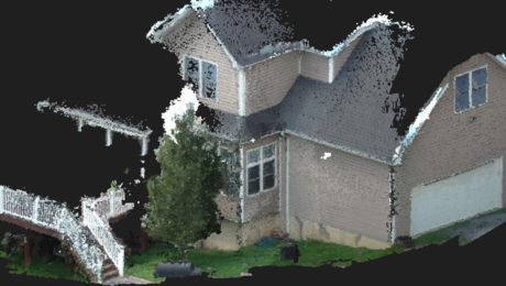
The Real Value of Point Clouds from Images
With the ability to generate point clouds from images, is laser scanning becoming obsolete? The answer might surprise you.
- Published in Featured Home, Featured Improve Your Skills, Improve Your Skills
Visual Positioning Innovation Gives GNSS RTK Surveying a Powerful Efficiency Boost
The groundbreaking new GS18 I GNSS RTK rover has wide-reaching implications for the surveying profession and other applications that require fast, precise measurement.
- Published in Featured Home, Featured Improve Your Skills, Improve Your Skills
Webinar Series Guides Surveyors to Point Cloud Mastery
From how to choose the right laser scanner, to using point clouds in CAD and creating advanced deliverables, this webinar series walks you through everything you need to know.
- Published in Featured Improve Your Skills, Improve Your Skills
Explore the Latest in GIS, Reality Capture and Detection in These On-Demand Sessions from the 2020 Esri UC Virtual Event
Virtual GIS event provides unique opportunities to discover cutting-edge solutions for asset collection and mapping.
- Published in Featured Improve Your Skills, Hide, Improve Your Skills
