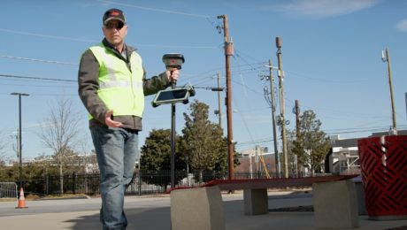
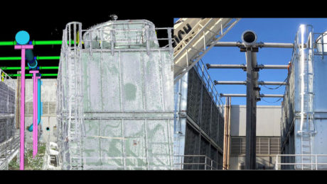
Video: Pro Tip – How to Anticipate Every Data Need with Your GNSS Survey
Streamline your surveys and avoid return site visits knowing you can pull any measurement you need from the dataset once you’re back in the office.
- Published in Featured Improve Your Skills, Improve Your Skills
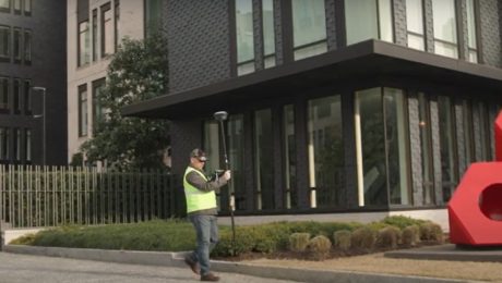
Video: Pro Tip – How to Survey Areas with Limited Access Using GNSS
Surveying behind a security gate or other inaccessible area is no problem with the GS18 I.
- Published in Featured Improve Your Skills, Improve Your Skills
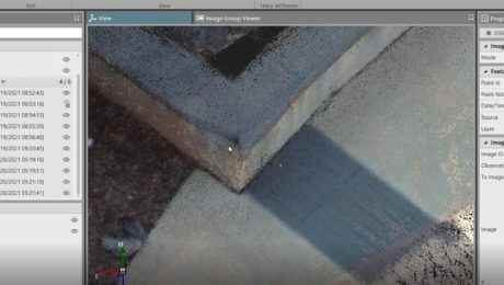
Video: Pro Tip – How to Capture Every Detail with GNSS
See how GNSS with visual positioning lets you easily capture details like broken brick corners so you can deliver better survey results.
- Published in Featured Improve Your Skills, Improve Your Skills
Are You Mobile Mapping Yet? Here’s Why You Should Be
Jason Ellis shares how the journey from surveying and civil engineering to mobile mapping is really just a matter of choosing to create new opportunities
- Published in Grow Your Business
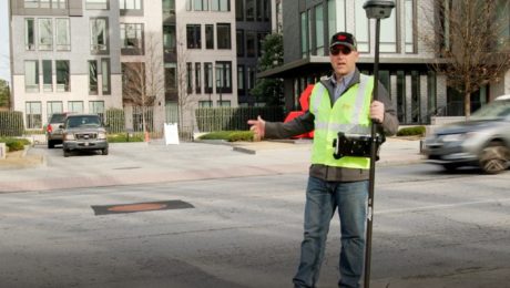
Video: Pro Tip – How to Use GNSS to Stay Safe in the Field
See how to capture manholes from the safety of the sidewalk with the help of visual positioning.
- Published in Featured Improve Your Skills, Improve Your Skills
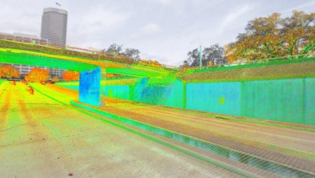
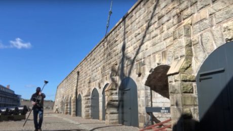
Video: Surveying Citadel Hill in Halifax with the GS18I GNSS RTK Rover
Andrew Gillis of Leica Geosystems shows how to capture what you see, even under canopy, as well as how to measure from images and do linework in the field.
- Published in Improve Your Skills
On Demand Webinar: How to Unlock Your Surveying Potential with Reality Capture
Learn how TWM launched its land surveying department into an entirely new trajectory as a self-sufficient leader in billings, profit and innovation.
- Published in Grow Your Business
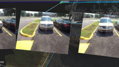
Video: An Easy Way to Eliminate Return Trips to the Field in GNSS Surveys
Missing data doesn’t have to mean going back out to the field. With the GS18I GNSS RTK rover, you can verify your data and get measurements in the office.
- Published in Improve Your Skills
Video: How GNSS with Visual Positioning Optimizes an ALTA Survey
Working in areas that have previously been challenging for GNSS is no problem when your GNSS rover uses visual positioning
- Published in Improve Your Skills
Video: How GNSS with Visual Positioning Accelerates a Road Expansion Survey
Working in areas that have previously been challenging for GNSS is no problem when your GNSS rover uses visual positioning
- Published in Improve Your Skills
