REALITY CAPTURE EDUCATION SERIES:
One-Button Mobile Mapping Workflows with Cyclone Pegasus Office
Join Jason Ellis in this on-demand session to learn how to harness the power of automation in the new Leica Cyclone Pegasus Office software.
- Published in Featured Home, Featured Improve Your Skills, Improve Your Skills
Video: The Power of Mobile Mapping with Onboard SLAM Technology
Jason Ellis shows how onboard Simultaneous Localization and Mapping (SLAM) technology affects the efficiency of mobile mapping data collection.
- Published in Improve Your Skills
Technology Review: Leica Pegasus TRK Neo Addresses the Challenges of the Future
The growing demand for high-precision 3D reality capture data can only be met by smart 3D reality capture systems like the TRK, says Gavin Schrock in this Geospatial World Prime story.
- Published in Grow Your Business
Video: The Mobile Mapping Office Workflow That Gets Data Out Quickly
Kyle Palmer, RPLS, shows the key to making mobile mapping data management and deliverable creation as fast and easy as the field data collection.
- Published in Improve Your Skills
Video: Mobile Mapping a Roadway with Zero Post-Processing
Explore a cross section of Leica Pegasus TRK mobile mapping data with RTK corrections applied during the collection to achieve tight overlapping scans with no post-processing required.
- Published in Improve Your Skills
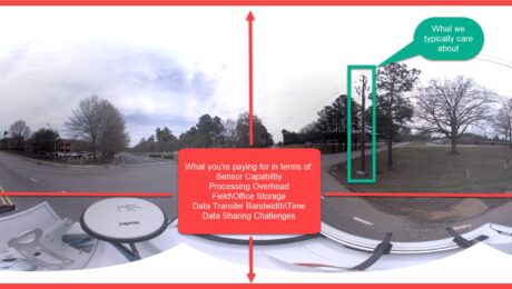
How to Stop Overpaying for Your Mobile Mapping Imagery
If you’re assessing your mobile mapping capabilities in terms of megapixels and image quality instead of image value, you’re leaving money on the table, says Jason Ellis. Here’s how to change it.
- Published in Grow Your Business
Ride Along with the Leica Pegasus TRK
Experience the autonomy, intelligence and simplicity of the world’s most innovative mobile mapping system in this on-demand live stream recording.
- Published in Featured Grow Your Business, Featured Home
How Arora and Associates, P.C., Became a Global Leader in Mobile Mapping Capabilities
The family-owned consulting engineering firm is the world’s first company to use the Leica TRK500 Neo mobile mapping system—but a commitment to technology innovation is just part of the story.
- Published in Featured Grow Your Business, Grow Your Business
Arora and Associates, P.C., Becomes First Company Worldwide to Invest in Leica Pegasus TRK500 Neo
Adding autonomous, intelligent mobile mapping capabilities to its award-winning engineering, surveying, planning and construction management services gives the consulting engineering firm an edge in projects requiring fast turnaround and exceptional quality.
- Published in Featured Grow Your Business, Featured Home, Grow Your Business
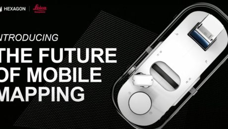
Video – The Future of Mobile Mapping: The Leica Pegasus TRK
In this TUC22 presentation, Jason Ellis explains why the latest innovation in mobile mapping will change how you think about reality capture.
- Published in Improve Your Skills
