Interactive PDF Answers FAQs About the GS18 I GNSS RTK
This at-a-glance summary from the recent Q&A webinar covers the questions surveyors are asking most about the new GNSS RTK with visual positioning.
- Published in Improve Your Skills
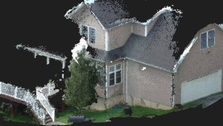
The Real Value of Point Clouds from Images
With the ability to generate point clouds from images, is laser scanning becoming obsolete? The answer might surprise you.
- Published in Featured Home, Featured Improve Your Skills, Improve Your Skills
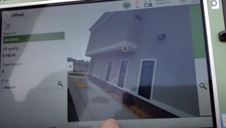
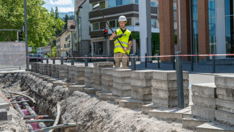
Video: Measuring from Photos in the Field with the GS18 I
Measuring from images in the field is fast and simple with the new GNSS smart antenna with visual positioning. This video shows you how it works.
- Published in Improve Your Skills
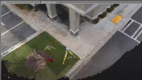
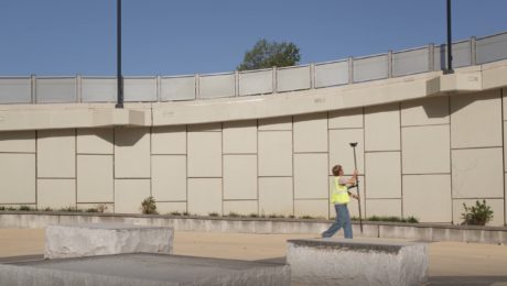
Video: A Quick Look at Creating Points from Images with the GS18 I GNSS RTK Rover
Missing points from the field is no longer an issue if you’re using a GNSS smart antenna with visual positioning. This video walks you through the workflow.
- Published in Improve Your Skills
Learn More About the New GS18 I GNSS RTK Rover in These Virtual Events
Go behind the scenes with the experts to learn about the innovative new GNSS RTK rover with visual positioning.
- Published in Improve Your Skills
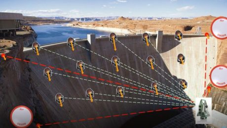
On-Demand Webinar: How to Optimize Structural Monitoring
Learn how to leverage the latest monitoring technology innovations to provide intelligence, protect assets and save lives.
- Published in Improve Your Skills
Visual Positioning Innovation Gives GNSS RTK Surveying a Powerful Efficiency Boost
The groundbreaking new GS18 I GNSS RTK rover has wide-reaching implications for the surveying profession and other applications that require fast, precise measurement.
- Published in Featured Home, Featured Improve Your Skills, Improve Your Skills
New Video Offers Sneak Peek of Industry-Defining Survey Technology
What if inaccessible areas no longer posed a challenge for safety and productivity? A new video provides a glimpse of what’s coming.
- Published in Improve Your Skills
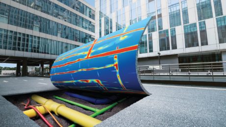
GPR for Everyone: How the Latest in Underground Asset Detection Creates New Surveying Opportunities
Advances in ground penetrating radar (GPR) make it easy to view and interpret data in the field.
- Published in Improve Your Skills
