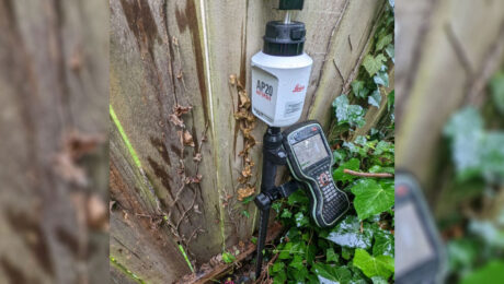
Survey Pole Review: Leica AP20 AutoPole Delivers Time Savings, Simplicity and #SurveyFun
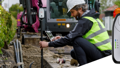
Blazing fast, fun to use and virtually foolproof, the AutoPole is proving to be the newest essential tool in this surveyor’s toolbox.
- Published in Featured Improve Your Skills, Improve Your Skills
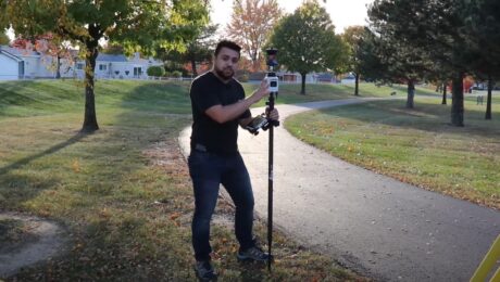
Video Review: Watch Rami Tamimi Take the AP20 AutoPole for a Test Drive
How much faster is the AP20 AutoPole compared to a traditional surveying prism pole? Check out the speed test in this video.
- Published in Featured Home, Featured Improve Your Skills, Improve Your Skills
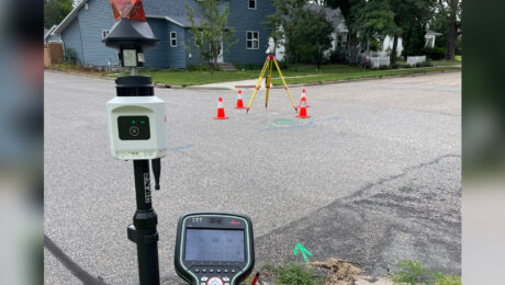
Review: The Three Advantages of the Leica AP20 AutoPole That Impress Me the Most
Improved speed and accuracy are a given, but these other benefits spark a new level of excitement about the future of surveying.
- Published in Improve Your Skills
Video: The Mobile Mapping Office Workflow That Gets Data Out Quickly
Kyle Palmer, RPLS, shows the key to making mobile mapping data management and deliverable creation as fast and easy as the field data collection.
- Published in Improve Your Skills
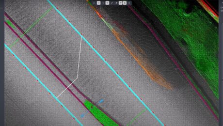
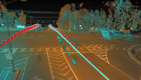
Video: Mobile Mapping a Roadway with Zero Post-Processing
Explore a cross section of Leica Pegasus TRK mobile mapping data with RTK corrections applied during the collection to achieve tight overlapping scans with no post-processing required.
- Published in Improve Your Skills
Video: An Easy Way to Capture Detailed Storm and Sanitary Data in a Two-Minute Site Survey
An imaging laser scanner with a highly automated workflow and intuitive apps enables survey work to be done in a fraction of the time compared to traditional approaches.
- Published in Improve Your Skills
Simple, Accurate, Real-Time GIS Asset Data Collection Just Got Even Better
Compact, rugged, lightweight and reliable, the Leica Zeno FLX100 is already preferred for its outstanding ease of use. Now, with iOS support, it’s also the most flexible GIS asset data collection tool.
- Published in Improve Your Skills
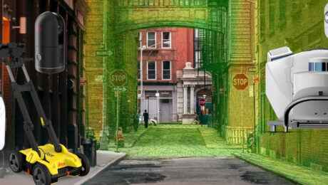
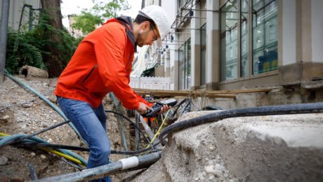
Esri UC 22 Highlights: The Future of GIS Data Collection, Mobile Reality Capture, GPR Utility Detection and More
Explore the fastest, simplest solutions for capturing and delivering high-accuracy mapping data at Booth 619.
- Published in Featured Improve Your Skills, Improve Your Skills
Eight Reasons Why Bring-Your-Own-Device Is the Future of GIS
Are your field crews and utility inspectors collecting asset data in the easiest way possible? Here are eight reasons why BYOD is the future of GIS.
- Published in Improve Your Skills
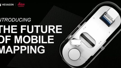
Video – The Future of Mobile Mapping: The Leica Pegasus TRK
In this TUC22 presentation, Jason Ellis explains why the latest innovation in mobile mapping will change how you think about reality capture.
- Published in Improve Your Skills

