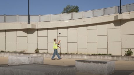
Video: Pro Tip – How to Survey Areas with Limited Access Using GNSS
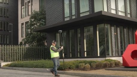
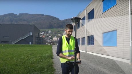
Surveying behind a security gate or other inaccessible area is no problem with the GS18 I.
- Published in Featured Improve Your Skills, Improve Your Skills
Video: Pro Tip – How to Capture Every Detail with GNSS
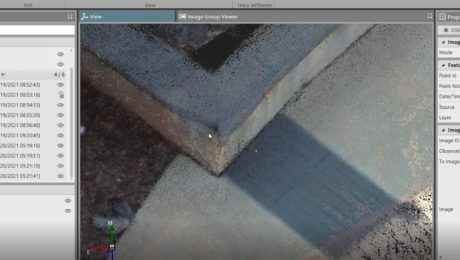
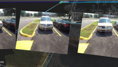
See how GNSS with visual positioning lets you easily capture details like broken brick corners so you can deliver better survey results.
- Published in Featured Improve Your Skills, Improve Your Skills
Video: Pro Tip – How to Use GNSS to Stay Safe in the Field
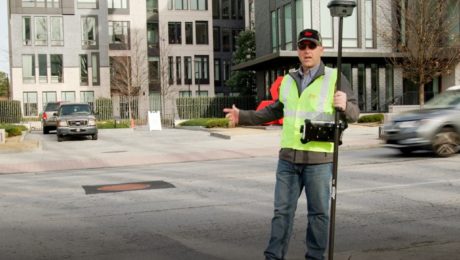
See how to capture manholes from the safety of the sidewalk with the help of visual positioning.
- Published in Featured Improve Your Skills, Improve Your Skills
Video: Surveying Citadel Hill in Halifax with the GS18I GNSS RTK Rover
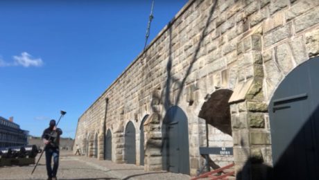
Andrew Gillis of Leica Geosystems shows how to capture what you see, even under canopy, as well as how to measure from images and do linework in the field.
- Published in Improve Your Skills
Video: An Easy Way to Eliminate Return Trips to the Field in GNSS Surveys
Missing data doesn’t have to mean going back out to the field. With the GS18I GNSS RTK rover, you can verify your data and get measurements in the office.
- Published in Improve Your Skills
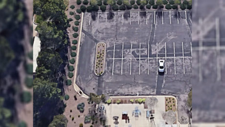
Video: How GNSS with Visual Positioning Optimizes an ALTA Survey
Working in areas that have previously been challenging for GNSS is no problem when your GNSS rover uses visual positioning
- Published in Improve Your Skills
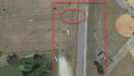
Video: How GNSS with Visual Positioning Accelerates a Road Expansion Survey
Working in areas that have previously been challenging for GNSS is no problem when your GNSS rover uses visual positioning
- Published in Improve Your Skills
Video Library: How to Use the GS18 I GNSS RTK Rover
The world’s first GNSS smart antenna with visual positioning technology allows you to measure points remotely in images. See how to use this capability to your advantage.
- Published in Improve Your Skills
The Safety and Efficiency Advantage of GNSS with Visual Positioning
Measure hundreds of points in minutes, reach previously inaccessible points, and capture points from a distance to achieve significant safety and efficiency gains.
- Published in Featured Grow Your Business, Grow Your Business, Hide
On-Demand Webinar Shows Optimal Survey Data Workflow Using Infinity Software
If you’re still taking your GNSS and other survey data directly from the field into CAD, you need to see what you’re missing.
- Published in Improve Your Skills

