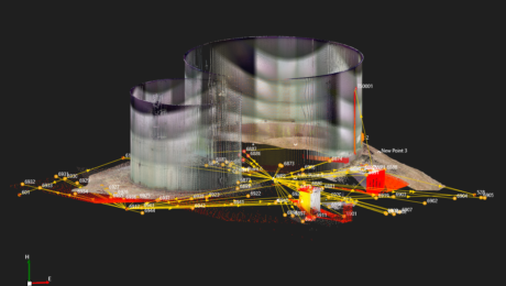
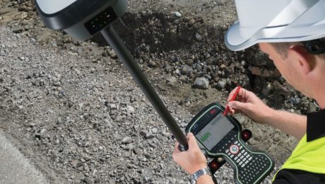
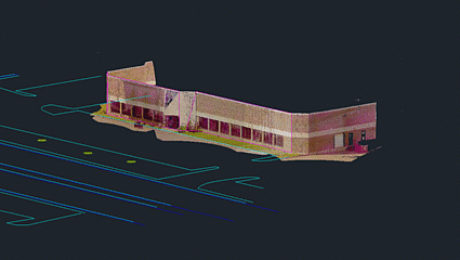
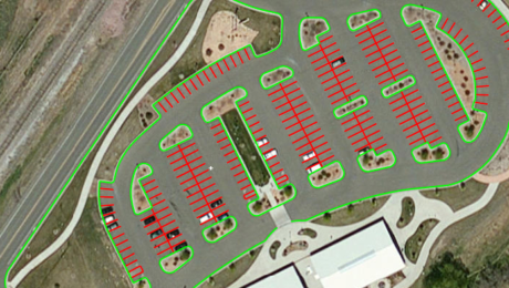
Explore the Latest in GIS, Reality Capture and Detection in These On-Demand Sessions from the 2020 Esri UC Virtual Event
Virtual GIS event provides unique opportunities to discover cutting-edge solutions for asset collection and mapping.
- Published in Featured Improve Your Skills, Hide, Improve Your Skills
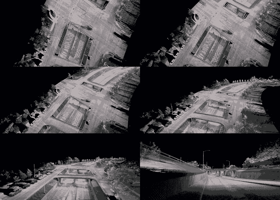
On-Demand Webinar Provides Tips to Help Surveyors Maximize Point Clouds
If you’ve already mastered the ability to integrate point cloud datasets with linework, it’s time to streamline your workflows and advance your deliverables.
- Published in Featured Home, Featured Improve Your Skills, Improve Your Skills
Can You Achieve Survey-Quality Results with an Unmanned Aircraft System?
It is possible to take advantage of the benefits of a UAS without sacrificing your high quality standards—if you understand the variables and follow best practices
- Published in Improve Your Skills
How to Close the Survey Data Transfer Gap
If you’re trying to increase efficiency on your surveying projects, take a close look at your data transfer process between the field and office.
- Published in Featured Home, Featured Improve Your Skills, Improve Your Skills
On-Demand Webinar Walks Surveyors Through Using Point Clouds in CAD
If you’re just getting started in laser scanning, learn the easy way to achieve seamless data transfers, full data traceability and efficient, effective drawings and models.
- Published in Featured Home, Improve Your Skills
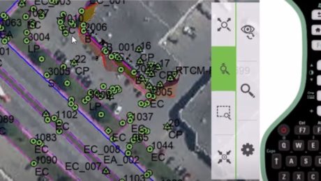
How to Save Field Time with Background Maps
The ability to display background maps in the field enhances the visualization of your project data and helps ensure you capture all the data you need.
- Published in Featured Home, Featured Improve Your Skills, Improve Your Skills
Why Your Surveying Field Software Version Matters
Upgrading your field software is an easy way to advance your capabilities and keep your crews running at maximum efficiency.
- Published in Featured Home, Featured Improve Your Skills, Improve Your Skills
Learn the Basics of Mobile Mapping in This Webinar Series
If you’ve been thinking about expanding your services to include mobile mapping, this webinar series can help you quickly get up to speed.
- Published in Featured Home, Featured Improve Your Skills, Improve Your Skills
Do Your GNSS Sensors Need a Firmware Update?
Keeping your surveying crews at peak performance requires the right gear and the latest firmware.
- Published in Improve Your Skills
Who Manages Your Technology Information?
Having a technology account administrator can help your firm maximize productivity and performance.
- Published in Improve Your Skills

