Video: An Easy Way to Eliminate Return Trips to the Field in GNSS Surveys
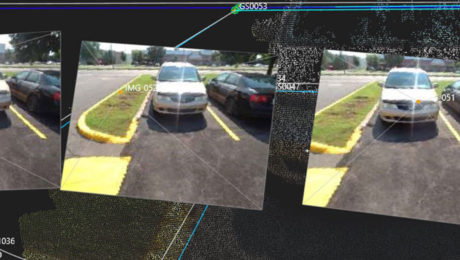
Missing data doesn’t have to mean going back out to the field. With the GS18I GNSS RTK rover, you can verify your data and get measurements in the office.
- Published in Improve Your Skills
Video: Measuring from Photos in the Field with the GS18 I
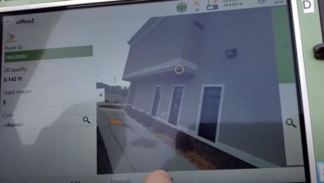
Measuring from images in the field is fast and simple with the new GNSS smart antenna with visual positioning. This video shows you how it works.
- Published in Improve Your Skills
Video: A Quick Look at Creating Points from Images with the GS18 I GNSS RTK Rover
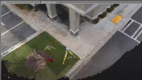
Missing points from the field is no longer an issue if you’re using a GNSS smart antenna with visual positioning. This video walks you through the workflow.
- Published in Improve Your Skills
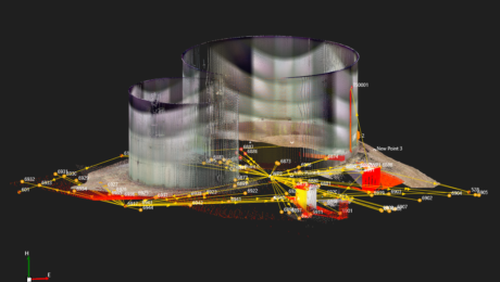
Webinar Series Guides Surveyors to Point Cloud Mastery
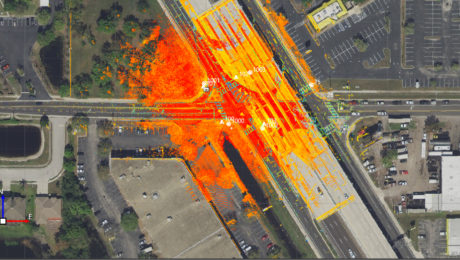
From how to choose the right laser scanner, to using point clouds in CAD and creating advanced deliverables, this webinar series walks you through everything you need to know.
- Published in Featured Improve Your Skills, Improve Your Skills
On-Demand Webinar Provides Tips to Help Surveyors Maximize Point Clouds
If you’ve already mastered the ability to integrate point cloud datasets with linework, it’s time to streamline your workflows and advance your deliverables.
- Published in Featured Home, Featured Improve Your Skills, Improve Your Skills
Can You Achieve Survey-Quality Results with an Unmanned Aircraft System?
It is possible to take advantage of the benefits of a UAS without sacrificing your high quality standards—if you understand the variables and follow best practices
- Published in Improve Your Skills
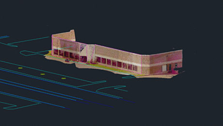
On-Demand Webinar Walks Surveyors Through Using Point Clouds in CAD
If you’re just getting started in laser scanning, learn the easy way to achieve seamless data transfers, full data traceability and efficient, effective drawings and models.
- Published in Featured Home, Improve Your Skills
Infinity Tutorial Video: How to Create a Flythrough
Learn how to share project overviews by easily turning your survey data into short videos and screencasts.
- Published in Improve Your Skills
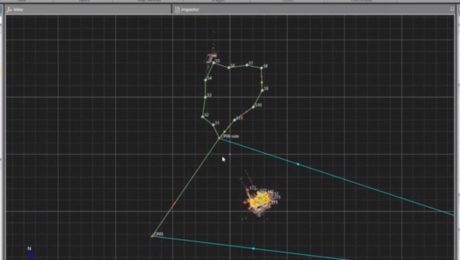
Infinity Tutorial Video: How to Process a Traverse and Update Setups
Learn how to process terrestrial data to ensure it’s in the correct local coordinate system, check the traverse results, and create a report.
- Published in Improve Your Skills
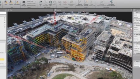
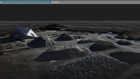
Video Library: UAV Processing
Learn how to use Leica Infinity software to easily import UAV data, orient images, add ground control points, and more.
- Published in Improve Your Skills
- 1
- 2
