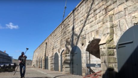
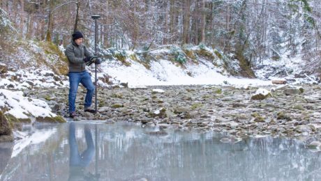
Video: Surveying Citadel Hill in Halifax with the GS18I GNSS RTK Rover
Andrew Gillis of Leica Geosystems shows how to capture what you see, even under canopy, as well as how to measure from images and do linework in the field.
- Published in Improve Your Skills
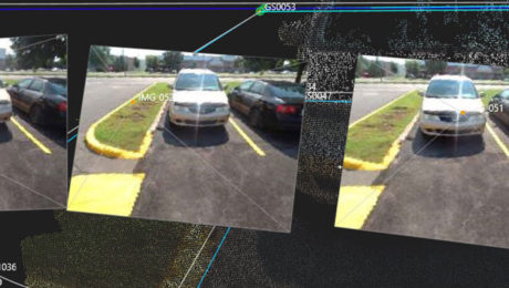
Video: An Easy Way to Eliminate Return Trips to the Field in GNSS Surveys
Missing data doesn’t have to mean going back out to the field. With the GS18I GNSS RTK rover, you can verify your data and get measurements in the office.
- Published in Improve Your Skills
Video: How GNSS with Visual Positioning Optimizes an ALTA Survey
Working in areas that have previously been challenging for GNSS is no problem when your GNSS rover uses visual positioning
- Published in Improve Your Skills
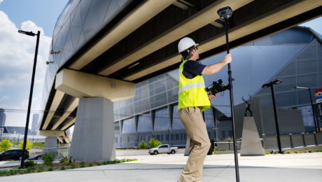
Video: How GNSS with Visual Positioning Accelerates a Road Expansion Survey
Working in areas that have previously been challenging for GNSS is no problem when your GNSS rover uses visual positioning
- Published in Improve Your Skills
On-Demand Webinar Shows Optimal Survey Data Workflow Using Infinity Software
If you’re still taking your GNSS and other survey data directly from the field into CAD, you need to see what you’re missing.
- Published in Improve Your Skills
How to Truly Benefit from GNSS Modernization
Taking full advantage of the rapidly increasing number of satellites and multifrequency signals requires dynamic surveying technology.
- Published in Featured Home, Featured Improve Your Skills, Improve Your Skills
On-Demand Webinar: How to Use GNSS Innovations to Optimize Your Surveying Field Workflows
Advanced signal tracking, self-learning capabilities, tilt compensation, visual positioning—the latest advances offer big gains in safety, efficiency and scalability.
- Published in Grow Your Business
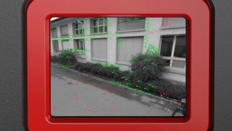
Video: What Makes the GS18I Different from Other Sensors?
Other GNSS sensors in the past have offered imaging capabilities, but the GS18I uses a different approach that provides remarkable results.
- Published in Improve Your Skills
Video: How GNSS with Visual Positioning Creates New Opportunities for Surveyors
If your RTK rover could see, how would that transform the services you offer your clients? What new doors would it open? Here’s one idea to consider.
- Published in Grow Your Business
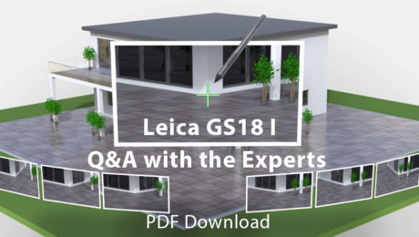
Interactive PDF Answers FAQs About the GS18 I GNSS RTK
This at-a-glance summary from the recent Q&A webinar covers the questions surveyors are asking most about the new GNSS RTK with visual positioning.
- Published in Improve Your Skills
