REALITY CAPTURE EDUCATION SERIES:
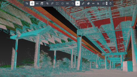
One-Button Mobile Mapping Workflows with Cyclone Pegasus Office
Join Jason Ellis in this on-demand session to learn how to harness the power of automation in the new Leica Cyclone Pegasus Office software.
- Published in Featured Home, Featured Improve Your Skills, Improve Your Skills
On-Demand Webinar: Tips, Tricks & Tech for High-Efficiency Surveying: A Live Q&A with the Experts
Examine the real-world implications of some of the latest technology advances along with insights on how to put technology to work in your firm.
- Published in Featured Home, Featured Improve Your Skills, Improve Your Skills
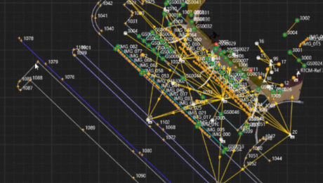
On-Demand Webinar – Monitoring 104: Using the Power of Automation for Real-Time Analysis and Reporting
Explore the platform that minimizes risk by maximizing real-time access to monitoring intelligence.
- Published in Featured Home, Featured Improve Your Skills, Improve Your Skills
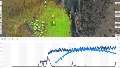
On-Demand Webinar – Monitoring 103: Using GNSS and Network Infrastructure for Real-Time and Long-Term Monitoring
Learn when to use GNSS in your installed monitoring projects and how to optimize the network infrastructure.
- Published in Featured Improve Your Skills, Improve Your Skills
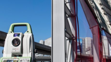
On-Demand Webinar – Monitoring 102: Using Total Stations and Laser Scanning to Provide Real-Time Results
Expand your monitoring capabilities by exploring the next level of automation.
- Published in Featured Improve Your Skills, Improve Your Skills
On-Demand Webinar – Monitoring 101: Easy Ways to Launch and Grow Your Monitoring Capabilities
Learn how to take your campaign monitoring services to the next level in Part 1 of our new Monitoring webinar series.
- Published in Featured Home, Featured Improve Your Skills, Improve Your Skills
On-Demand Webinar: Automation, Digitalization and the Rise of the Next Generation Surveyor
Discover how to harness technology to achieve a digital transformation that will have an impact on your current business and the future of the profession.
- Published in Featured Grow Your Business, Grow Your Business
On-Demand Webinar Shows Optimal Survey Data Workflow Using Infinity Software
If you’re still taking your GNSS and other survey data directly from the field into CAD, you need to see what you’re missing.
- Published in Improve Your Skills
On-Demand Webinar: How to Use GNSS Innovations to Optimize Your Surveying Field Workflows
Advanced signal tracking, self-learning capabilities, tilt compensation, visual positioning—the latest advances offer big gains in safety, efficiency and scalability.
- Published in Grow Your Business
On-Demand Webinar: GS18 I – How GNSS with Visual Positioning Changes the Game for Surveyors
Go behind the scenes with the experts to learn about the innovative new GNSS RTK rover with visual positioning.
- Published in Grow Your Business
