Learn More About the New GS18 I GNSS RTK Rover in These Virtual Events
Go behind the scenes with the experts to learn about the innovative new GNSS RTK rover with visual positioning.
- Published in Improve Your Skills
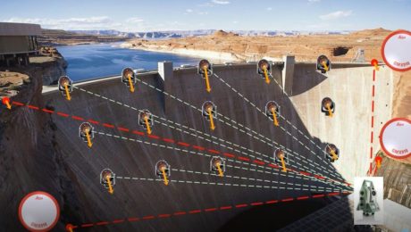
On-Demand Webinar: How to Optimize Structural Monitoring
Learn how to leverage the latest monitoring technology innovations to provide intelligence, protect assets and save lives.
- Published in Improve Your Skills
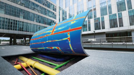
GPR for Everyone: How the Latest in Underground Asset Detection Creates New Surveying Opportunities
Advances in ground penetrating radar (GPR) make it easy to view and interpret data in the field.
- Published in Improve Your Skills
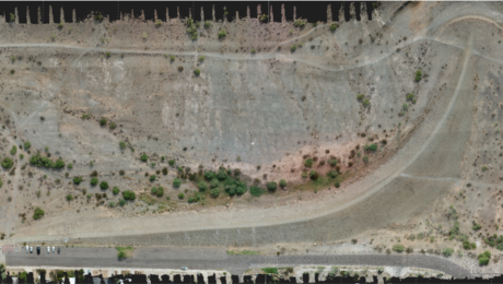
On-Demand Webinar: UAS Best Practices for Geospatial Professionals
From photogrammetry basics to ASPRS mapping standards and accuracy requirements, here’s what you need to know to be successful with UAS/UAVs.
- Published in Improve Your Skills
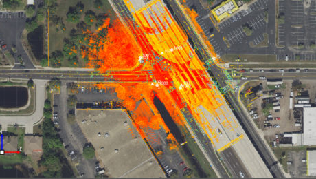
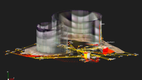
Webinar Series Guides Surveyors to Point Cloud Mastery
From how to choose the right laser scanner, to using point clouds in CAD and creating advanced deliverables, this webinar series walks you through everything you need to know.
- Published in Featured Improve Your Skills, Improve Your Skills
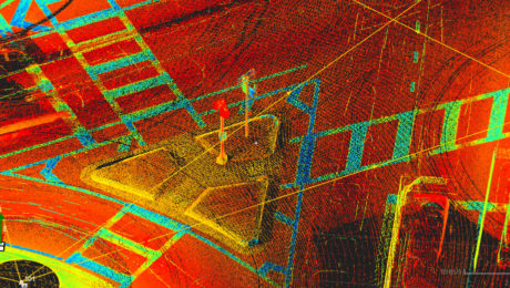
On-Demand Webinar Provides Tips to Help Surveyors Maximize Point Clouds
If you’ve already mastered the ability to integrate point cloud datasets with linework, it’s time to streamline your workflows and advance your deliverables.
- Published in Featured Home, Featured Improve Your Skills, Improve Your Skills
Can You Achieve Survey-Quality Results with an Unmanned Aircraft System?
It is possible to take advantage of the benefits of a UAS without sacrificing your high quality standards—if you understand the variables and follow best practices
- Published in Improve Your Skills
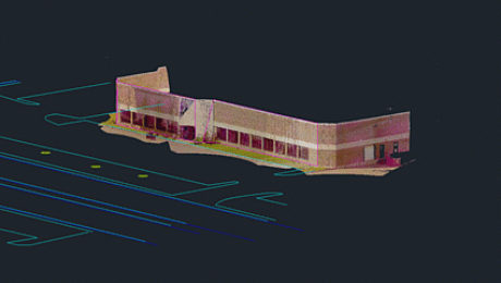
On-Demand Webinar Walks Surveyors Through Using Point Clouds in CAD
If you’re just getting started in laser scanning, learn the easy way to achieve seamless data transfers, full data traceability and efficient, effective drawings and models.
- Published in Featured Home, Improve Your Skills
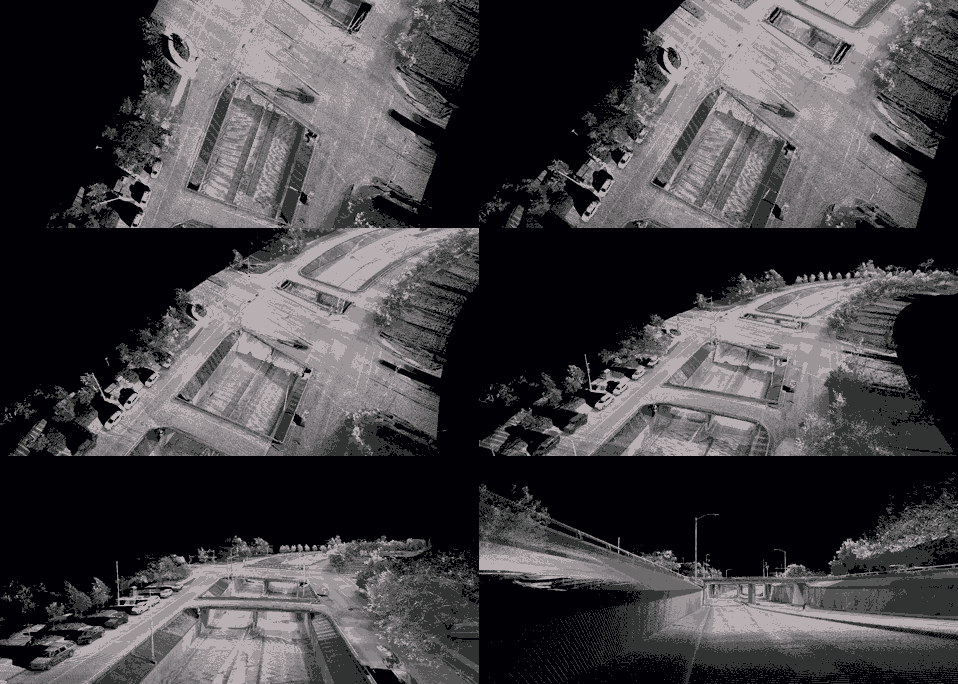
Learn the Basics of Mobile Mapping in This Webinar Series
If you’ve been thinking about expanding your services to include mobile mapping, this webinar series can help you quickly get up to speed.
- Published in Featured Home, Featured Improve Your Skills, Improve Your Skills
On-Demand Webinar Provides Practical Advice for Entry-Level Laser Scanning
Technology advances make it easier than ever for surveyors to get involved in laser scanning, but strategy matters. Understanding the key considerations in making technology decisions will position you for the best success.
- Published in Featured Home, Improve Your Skills

