How to Grow Your Business with 3D Laser Scanning
3D laser scanning can help you create new opportunities, increase your competitiveness and improve productivity. Learn how to put laser scanning to work for your firm.
- Published in Featured Grow Your Business, Grow Your Business
On Demand Webinar: How to Unlock Your Surveying Potential with Reality Capture
Learn how TWM launched its land surveying department into an entirely new trajectory as a self-sufficient leader in billings, profit and innovation.
- Published in Grow Your Business
Video: An Easy Way to Eliminate Return Trips to the Field in GNSS Surveys
Missing data doesn’t have to mean going back out to the field. With the GS18I GNSS RTK rover, you can verify your data and get measurements in the office.
- Published in Improve Your Skills
Video: How GNSS with Visual Positioning Optimizes an ALTA Survey
Working in areas that have previously been challenging for GNSS is no problem when your GNSS rover uses visual positioning
- Published in Improve Your Skills
Video: How GNSS with Visual Positioning Accelerates a Road Expansion Survey
Working in areas that have previously been challenging for GNSS is no problem when your GNSS rover uses visual positioning
- Published in Improve Your Skills
UAS Surveying
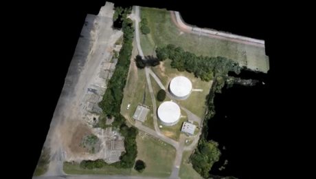
Surveying firms are taking their work to new heights with unmanned aircraft systems. Here are some examples.
- Published in Grow Your Business
Three Ways Your Surveying Practices Might Be Falling Short
Do you use laser scanning in your surveying work? If not, you might be missing out on key advantages that are rapidly becoming standard.
- Published in Featured Home, Featured Improve Your Skills, Improve Your Skills
Survey Digitalization and the Power of Visualization
Want to improve project communication within your organization and with your clients? Point clouds and flythrough videos speak volumes.
- Published in Featured Grow Your Business, Featured Home, Grow Your Business
On-Demand Webinar: Automation, Digitalization and the Rise of the Next Generation Surveyor
Discover how to harness technology to achieve a digital transformation that will have an impact on your current business and the future of the profession.
- Published in Featured Grow Your Business, Grow Your Business
Video Library: How to Use the GS18 I GNSS RTK Rover
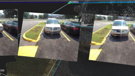
The world’s first GNSS smart antenna with visual positioning technology allows you to measure points remotely in images. See how to use this capability to your advantage.
- Published in Improve Your Skills
