Secrets from the Surveying Firm That Is Accelerating Solar Farm Construction
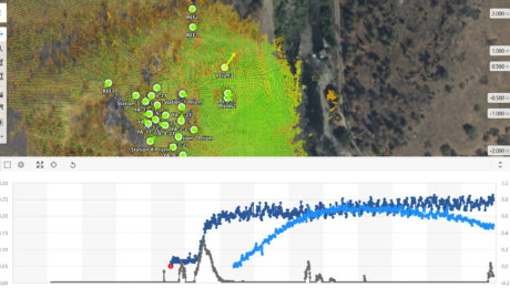
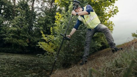
Combining the speed of a tilt rover with the automation of stylesheets has propelled Challenger Geomatics to the forefront of high-efficiency surveying for large-scale renewable energy projects.
- Published in Featured Grow Your Business, Featured Home, Grow Your Business
Tech Day Delivers High-Value Education for Wisconsin Surveyors
Jan. 25 Wisconsin Dells event will help you maximize your survey skills and explore the latest field software capabilities, reality capture technologies and more.
- Published in Hide, Improve Your Skills
New Field App Makes Staking Workflows Fast and Easy
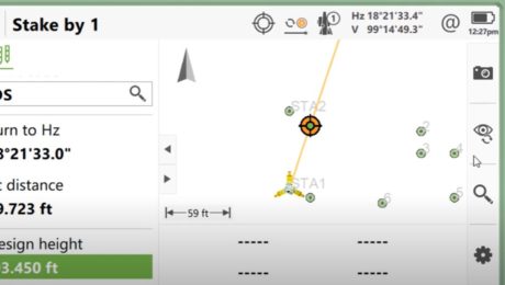
An app that app does all the work while you maintain all the control? That’s what you’ll find in Captivate Quick Stake.
- Published in Improve Your Skills
On-Demand Webinar – Monitoring 104: Using the Power of Automation for Real-Time Analysis and Reporting
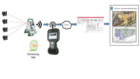
Explore the platform that minimizes risk by maximizing real-time access to monitoring intelligence.
- Published in Featured Home, Featured Improve Your Skills, Improve Your Skills
Want to Grow Your Business in Monitoring? A Little Automation Can Go a Long Way
If you’re still tracking your campaign monitoring results in spreadsheets, here’s an easy way to do it better.
- Published in Grow Your Business, Improve Your Skills
Innovative Laser Scanning Approach Yields Rapid Results in Time-Critical Surveying Project
When high-speed wasn’t fast enough, McLaren Engineering Group turned to high-tech in the form of a handheld imaging laser scanner to deliver the ultimate value.
- Published in Grow Your Business
On-Demand Webinar – Monitoring 103: Using GNSS and Network Infrastructure for Real-Time and Long-Term Monitoring
Learn when to use GNSS in your installed monitoring projects and how to optimize the network infrastructure.
- Published in Featured Improve Your Skills, Improve Your Skills

