REALITY CAPTURE EDUCATION SERIES:
How to Create Impressive Surface Models in a Snap
Join Seth Gulich in this on-demand session to learn a lightning-fast way to create survey deliverables that are loaded with detail.
- Published in Featured Improve Your Skills, Improve Your Skills
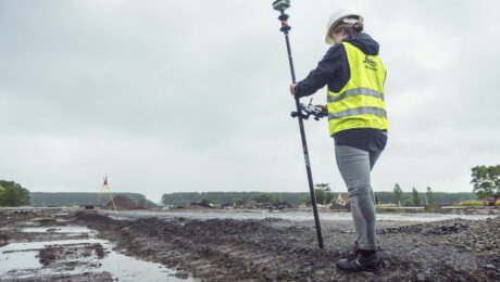
Webinar: RTK GNSS Technology Selection and Field Productivity Tips
Join Burke Asay in this on-demand session to get his insights on how to evaluate all the recent capabilities of GNSS technology and what the new Leica GS05 brings to the surveying profession, as well as tips to maximize productivity and quality.
- Published in Featured Home, Featured Improve Your Skills, Improve Your Skills
REALITY CAPTURE EDUCATION SERIES:
Ask the Experts – Q&A Recording
Did anyone stump the Leica Geosystems reality capture trainers in the live, interactive Q&A session? Watch the on-demand recording and take away new skills that will help your productivity soar.
- Published in Featured Home, Featured Improve Your Skills, Improve Your Skills
REALITY CAPTURE EDUCATION SERIES:
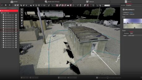
Time-Saving Tips & Tricks for Laser Scanning Data Collection
Join Adam Westfall in this on-demand session to learn how to improve and accelerate your reality capture workflows in Cyclone FIELD 360 3D laser scanning data collection software.
- Published in Featured Home, Featured Improve Your Skills, Improve Your Skills
REALITY CAPTURE EDUCATION SERIES:
When to Use a Handheld Laser Scanner as a Surveying Tool
Join Eric Cowan in this on-demand session to explore key considerations for evaluating and applying this fast, flexible reality capture technology.
- Published in Featured Improve Your Skills, Improve Your Skills
REALITY CAPTURE EDUCATION SERIES:
Tips & Tricks to Level Up Your P-Series Scan Data
Join Seth Gulich in this on-demand session to learn how to use REGISTER 360 PLUS to maximize your P-Series point clouds and save time on multi-sensor workflows.
- Published in Featured Home, Featured Improve Your Skills, Improve Your Skills
REALITY CAPTURE EDUCATION SERIES:
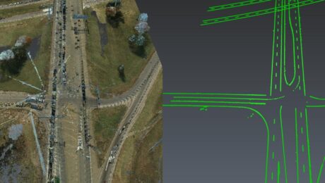
The Unexpected Way to Dominate in Topographic Data Extraction
Join Kyle Palmer in this on-demand session to learn how to create your own software tools that do exactly what you need, so you can have a fast and simple end-to-end solution that is fully within your control.
- Published in Featured Home, Featured Improve Your Skills, Improve Your Skills
REALITY CAPTURE EDUCATION SERIES:
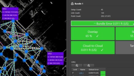
How to Master Point Cloud Registration Accuracy
Join Adam Westfall in this on-demand guided tour through a best-practices point cloud registration workflow.
- Published in Featured Home, Featured Improve Your Skills, Improve Your Skills
REALITY CAPTURE EDUCATION SERIES:
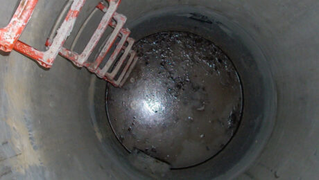
The Best Way to Achieve Fast, Accurate Reality Capture in Confined Spaces
Join Eric Cowan in this on-demand webinar to learn how to differentiate your topographic scanning services with high-value confined-space laser scanning.
- Published in Featured Home, Featured Improve Your Skills, Improve Your Skills
HDS University Returns in 2023 with Even More Surveying Educational Value
With classes on laser scanning, GNSS, survey workflows, data management, and deliverable creation, HDS University 2023 should be on every surveyor’s agenda.
- Published in Featured Home, Featured Improve Your Skills, Improve Your Skills


