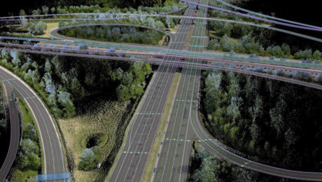
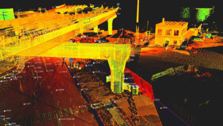
Advance Your Reality Capture Skills with These Sessions from TUC21
From knowing which systems you need to understanding how to get a fast return on your investment, these sessions from the 2021 TopoDOT Users Conference can give you an advantage.
- Published in Grow Your Business, Improve Your Skills
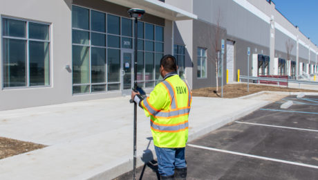
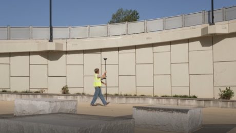
How RQAW Makes Surveying Smarter
An in-house surveying department with innovative GNSS technology gives an Indiana-based engineering and architecture firm an edge in safety, productivity and service excellence.
- Published in Featured Grow Your Business, Grow Your Business
The Ingenious Way 1 Alliance Geomatics Combats Survey Equipment Theft
Using a simple technology upgrade to protect survey equipment provides a big payoff.
- Published in Featured Home, Grow Your Business
Are You Mobile Mapping Yet? Here’s Why You Should Be
Jason Ellis shares how the journey from surveying and civil engineering to mobile mapping is really just a matter of choosing to create new opportunities
- Published in Grow Your Business
How to Grow Your Business with 3D Laser Scanning
3D laser scanning can help you create new opportunities, increase your competitiveness and improve productivity. Learn how to put laser scanning to work for your firm.
- Published in Featured Grow Your Business, Grow Your Business
On Demand Webinar: How to Unlock Your Surveying Potential with Reality Capture
Learn how TWM launched its land surveying department into an entirely new trajectory as a self-sufficient leader in billings, profit and innovation.
- Published in Grow Your Business
UAS Surveying
Surveying firms are taking their work to new heights with unmanned aircraft systems. Here are some examples.
- Published in Grow Your Business
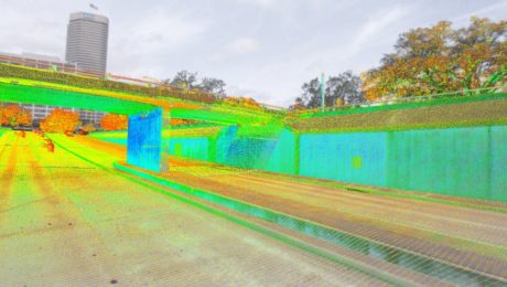
Survey Digitalization and the Power of Visualization
Want to improve project communication within your organization and with your clients? Point clouds and flythrough videos speak volumes.
- Published in Featured Grow Your Business, Featured Home, Grow Your Business
On-Demand Webinar: Automation, Digitalization and the Rise of the Next Generation Surveyor
Discover how to harness technology to achieve a digital transformation that will have an impact on your current business and the future of the profession.
- Published in Featured Grow Your Business, Grow Your Business
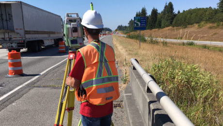
The Safety and Efficiency Advantage of GNSS with Visual Positioning
Measure hundreds of points in minutes, reach previously inaccessible points, and capture points from a distance to achieve significant safety and efficiency gains.
- Published in Featured Grow Your Business, Grow Your Business, Hide

