Need to Move Your Transportation Engineering Surveys into Overdrive? This New Mobile Mapping System Holds the Key
Jason Ellis explains how the new Leica Pegasus TRK mobile mapping system provides a giant leap forward in efficiency.
- Published in Improve Your Skills
New Mobile Mapping Technology Transforms Project Efficiency
The new Leica Pegasus TRK mobile mapping system combines artificial intelligence, autonomous workflows and intuitive interfaces to make mapping projects efficient and cost-effective.
- Published in Featured Home, Featured Improve Your Skills, Improve Your Skills
Where Is Mobile Mapping Headed Next?
Improving data quality and delivery are essential to empowering a broader user base, explains Jason Ellis. But how will these challenges be overcome?
- Published in Improve Your Skills
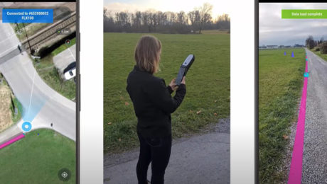
Video: The Easiest Way to Capture and Visualize Utility Infrastructure with High Accuracy
Combining high-accuracy GIS data collection with seamless field workflows and the vGIS augmented reality visualization platform delivers next-level intelligence on utility infrastructure.
- Published in Improve Your Skills
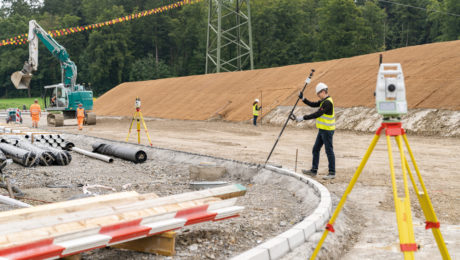
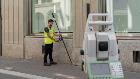
The Most Efficient Way to Do a Total Station Survey
How much faster could you survey if you didn’t have to stop to level up your prism pole? This new system promises significant time savings.
- Published in Improve Your Skills
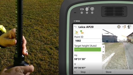
The Fastest Way to Calculate and Verify Your Prism Pole Height
Here’s an easy way to make sure every change to your prism pole height is measured and applied to your survey data.
- Published in Improve Your Skills
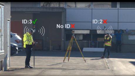
The Easiest Way to Make Sure Your Total Station Locks onto the Correct Prism Every Time
Here’s how you can prevent your total station from locking onto the wrong prism and keep it locked on the right one.
- Published in Improve Your Skills
New Survey Pole System Promises Significant Time Savings
An innovative prism pole system with tilt compensation, automatic pole height readings and unique target identification takes total station surveying to the next level.
- Published in Featured Home, Improve Your Skills
On-Demand Webinar: Tips, Tricks & Tech for High-Efficiency Surveying: A Live Q&A with the Experts
Examine the real-world implications of some of the latest technology advances along with insights on how to put technology to work in your firm.
- Published in Featured Home, Featured Improve Your Skills, Improve Your Skills
How to Easily Automate Survey Data Management with Stylesheets
Still exporting data using ASCII or format files? Stylesheets provide an easy and flexible way to automate the process—and achieve a more impressive outcome.
- Published in Improve Your Skills

